| # | ICAO code
|
Name
|
# of related pictures |
IATA code
|
Country
|
Geolocation
|
Municipality
|
Type
|
Elevation (ft) |
Longest runway length (m) |
Passengers [in 2018]* |
Info (external) |
Website (external) |
# of related air shows in DB |
# of related air museums in DB |
# of aeroclubs in DB |
# of related collections |
# of related user comments |
|
|---|---|---|---|---|---|---|---|---|---|---|---|---|---|---|---|---|---|---|---|
| 1 | _00271 | Agropecuaria Lepaguare Airport |  Honduras
 |
La Lima | Airport | 550 |
|
||||||||||||
| 2 | MHAH | Ahuas Airport | AHS |
Honduras |
Ahuas | Airport | 249 | 900 |
|
||||||||||
| 3 | MHAM | Amapala Airport |
Honduras |
Amapala Island | Airport | 40 | 575 |
|
|||||||||||
| 4 | _01714 | Bonito Oriental Airport |
Honduras |
Corocito | Airport | 164 |
|
||||||||||||
| 5 | MHBL | Brus Laguna Airport | BHG |
Honduras |
Brus Laguna | Airport | 19 | 960 |
|
||||||||||
| 6 | MHCA | Catacamas |
Honduras |
Catacamas | Airport |
|
|||||||||||||
| 7 | MHCU | Cauquira Airport | CDD |
Honduras |
Cauquira | Airport | 21 | 940 |
|
||||||||||
| 8 | MHGS | Celaque Airport | GAC |
Honduras |
Gracias | Airport | 2 995 | 1 300 |
|
||||||||||
| 9 | MHCH | Choluteca Airport |
Honduras |
Airport | 213 | 1 110 |
|
||||||||||||
| 10 | MHCG | Comayagua |
Honduras |
Comayagua | Airport |
|
|||||||||||||
| 11 | MHRU | Copán Ruinas Airport | RUY |
Honduras |
Copán Ruinas | Airport | 2 336 | 1 400 |
|
||||||||||
| 12 | MHCS | Coyoles Airport | CYL |
Honduras |
Coyoles | Airport | 492 | 1 160 |
|
||||||||||
| 13 | _03335 | Cristo Te Quiere Airport |
Honduras |
Danli | Airport | 852 |
|
||||||||||||
| 14 | MHEA | El Arrayán Airport | OAN |
Honduras |
Olanchito | Airport | 722 | 540 |
|
||||||||||
| 15 | _03974 | El Pentágono Airport |
Honduras |
El Retiro | Closed | 93 |
|
||||||||||||
| 16 | MHPV | El Porvenir Airport, Honduras |
Honduras |
Manga | Airport | 226 | 800 |
|
|||||||||||
| 17 | _04005 | El Tesoro Airport |
Honduras |
Aguacatal | Airport | 1 318 |
|
||||||||||||
| 18 | MHGU | Erandique Airport | EDQ |
Honduras |
Airport | 4 199 | 680 |
|
|||||||||||
| 19 | _04292 | Ficohsa Heliport |
Honduras |
San Pedro Sula | Heliport | 247 |
|
||||||||||||
| 20 | MHLC | Golosón International Airport | LCE |
Honduras |
La Ceiba | Airport | 39 | 2 950 | 165 802 |
|
|||||||||
| 21 | MHNJ | Guanaja Airport | GJA |
Honduras |
Guanaja | Airport | 49 | 1 220 |
|
||||||||||
| 22 | _05330 | Higuerito Central Airport |
Honduras |
Higuerito | Airport | 131 |
|
||||||||||||
| 23 | MHIC | Islas del Cisne Airport |
Honduras |
Del Cisne Island | Airport | 37 | 1 880 |
|
|||||||||||
| 24 | MHJI | Jicalapa Airport | GUO |
Honduras |
Jicalapa | Airport | 2 133 | 720 |
|
||||||||||
| 25 | MHRO | Juan Manuel Gálvez International Airport | 1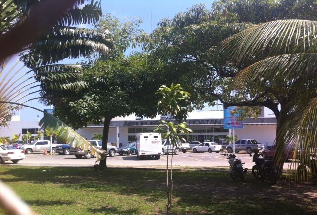 |
RTB |
Honduras |
Roatan Island | Airport | 39 | 2 395 | 371 657 |
|
||||||||
| 1 | 537 459 | 0 | 0 | 0 | 0 | 0 | |||||||||||||
| # | ICAO code
|
Name
|
# of related pictures |
IATA code
|
Country
|
Geolocation
|
Municipality
|
Type
|
Elevation (ft) |
Longest runway length (m) |
Passengers [in 2018]* |
Info (external) |
Website (external) |
# of related air shows in DB |
# of related air museums in DB |
# of aeroclubs in DB |
# of related collections |
# of related user comments |
|