| # | ICAO code
|
Name
|
# of related pictures |
IATA code
|
Country
|
Geolocation
|
Municipality
|
Type
|
Elevation (ft) |
Longest runway length (m) |
Passengers [in 2018]* |
Info (external) |
Website (external) |
# of related air shows in DB |
# of related air museums in DB |
# of aeroclubs in DB |
# of related collections |
# of related user comments |
|
|---|---|---|---|---|---|---|---|---|---|---|---|---|---|---|---|---|---|---|---|
| 1 | KZZV | Zanesville Municipal Airport | 1 |
ZZV |  United States
 |
Zanesville | Airport | 900 |
|
||||||||||
| 2 | KZPH | Zephyrhills Municipal Airport | 1 |
ZPH |
United States |
Zephyrhills | Airport | 90 | 2 |
|
|||||||||
| 3 | KNYL | Yuma International Airport | 1 |
YUM |
United States |
Yuma | Airport | 213 | 4 054 | 149 484 | 2 |
|
|||||||
| 4 | KYNG | Youngstown-Warren Regional Airport | 1 |
YNG |
United States |
Youngstown/Warren | Airport | 1 196 | 1 525 | 95 036 | 3 |
|
|||||||
| 5 | KYKN | Chan Gurney Municipal Airport | YKN |
United States |
Yankton | Airport | 398 | 1 030 |
|
||||||||||
| 6 | KYKM | Yakima Air Terminal | 1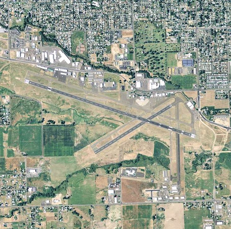 |
YKM |
United States |
Yakima | Airport | 1 099 | 107 664 | 3 |
|
||||||||
| 7 | KYIP | Willow Run Airport | 1 |
YIP |
United States |
Detroit | Airport | 716 | 2 028 | 1 | 3 |
|
|||||||
| 8 | PAYA | Yakutat Airport | 1 |
YAK |
United States |
Yakutat | Airport | 33 | 1 974 | 21 512 |
|
||||||||
| 9 | KTNX | Tonopah Test Range | 1 |
XSD |
United States |
Tonopah | Airport | 5 549 | 3 658 |
|
|||||||||
| 10 | KIEN | Pine Ridge Airport | XPR |
United States |
Pine Ridge | Airport | 3 333 | 1 524 |
|
||||||||||
| 11 | KXNA | Northwest Arkansas Regional Airport | 1 |
XNA |
United States |
Fayetteville/Springdale | Airport | 1 287 | 1 438 922 |
|
|||||||||
| 12 | KMDS | Madison Municipal Airport (South Dakota) | XMD |
United States |
Madison | Airport | 1 718 | 1 524 | 1 |
|
|||||||||
| 13 | KWYS | Yellowstone Airport | 1 |
WYS |
United States |
West Yellowstone | Airport | 6 649 | 2 560 |
|
|||||||||
| 14 | PAEW | Newtok Airport | WWT |
United States |
Newtok | Airport | 25 | 671 |
|
||||||||||
| 15 | KWWR | West Woodward Airport | 1 |
WWR |
United States |
Woodward | Airport | 2 189 | 1 677 |
|
|||||||||
| 16 | KWWD | Cape May Airport | WWD |
United States |
Wildwood | Airport | 21 | 1 |
|
||||||||||
| 17 | PAWS | Wasilla Airport | WWA |
United States |
Wasilla | Airport | 354 | 1 128 |
|
||||||||||
| 18 | KWVL | Waterville Robert LaFleur Airport | WVL |
United States |
Waterville | Airport | 333 | 1 676 |
|
||||||||||
| 19 | KWVI | Watsonville Municipal Airport | 1 |
WVI |
United States |
Watsonville | Airport | 163 | 1 372 | 1 |
|
||||||||
| 20 | PAWN | Noatak Airport | WTK |
United States |
Noatak | Airport | 88 | 1 219 |
|
||||||||||
| 21 | KWST | Westerly State Airport | 1 |
WST |
United States |
Westerly | Airport | 81 | 34 436 | 1 |
|
||||||||
| 22 | PFWS | South Naknek Airport | 1 |
WSN |
United States |
South Naknek | Airport | 162 | 690 |
|
|||||||||
| 23 | KHWV | Brookhaven Airport | 1 |
WSH |
United States |
Shirley | Airport | 81 | 1 280 | 1 |
|
||||||||
| 24 | KAFJ | Washington County Airport (Pennsylvania) | 1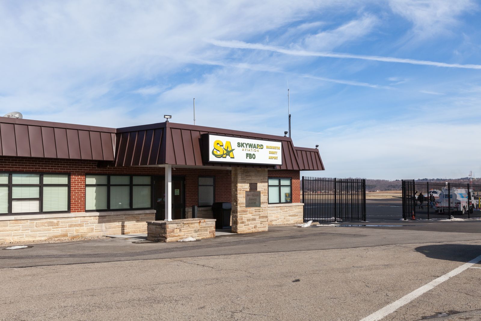 |
WSG |
United States |
Washington | Airport | 1 184 | 1 525 |
|
|||||||||
| 25 | KWSD | Condron Aaf | WSD |
United States |
White Sands | Airport | 3 934 |
|
|||||||||||
| 16 | 1 847 054 | 0 | 2 | 17 | 0 | 0 | |||||||||||||
| # | ICAO code
|
Name
|
# of related pictures |
IATA code
|
Country
|
Geolocation
|
Municipality
|
Type
|
Elevation (ft) |
Longest runway length (m) |
Passengers [in 2018]* |
Info (external) |
Website (external) |
# of related air shows in DB |
# of related air museums in DB |
# of aeroclubs in DB |
# of related collections |
# of related user comments |
|