Pictures
| # |
ID


|
Uploaded by
|
Uploaded on

|
Picture
|
Description
|
Related item(s)
|


|
| 4276 |
7917 |
 bali |
2018-05-26 22:32:24 |
 |
By United States Army Air Forces - http://www.americanairmuseum.com/media/5784, Public Domain, https://commons.wikimedia.org/w/index.php?curid=38649799 |
Airport RAF Aldermaston (_09687) |
|
| 4277 |
7916 |
bali |
2018-05-26 22:32:14 |
 |
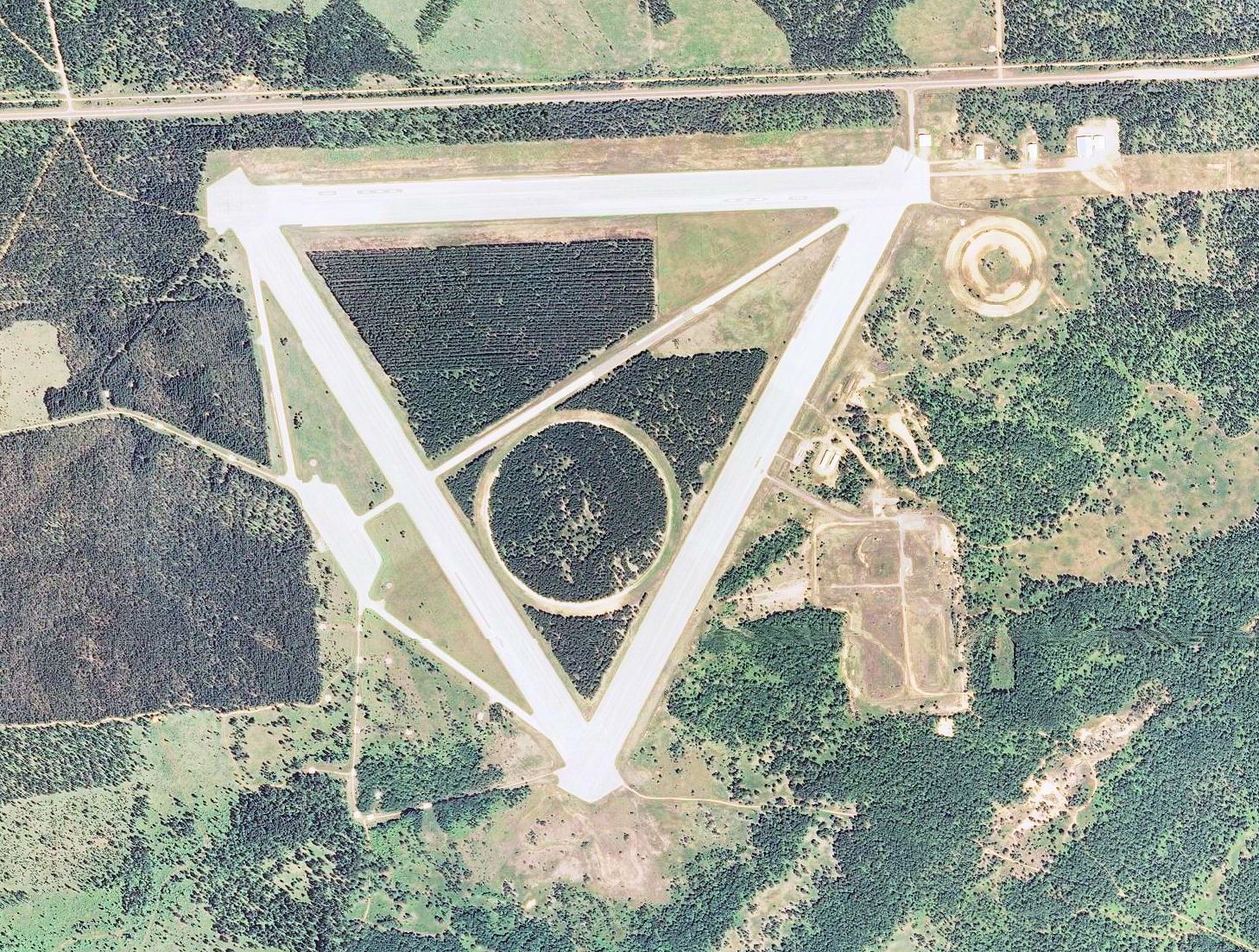
By United States Geological Survey (USGS) - USGS via TopoQuesthttp://www.topoquest.com/map.php?lat=46.34715&lon=-84.80318&datum=nad83&zoom=2&map=sat1m&coord=d&mode=zoomin&size=l, Public Domain, https://commons.wikimedia.org/w/index.php?curid=1721168 |
Airport Raco Army Airfield (_09677) |
|
| 4278 |
7915 |
bali |
2018-05-26 22:32:01 |
 |
By United States Geological Survey (USGS) - USGS The National Map, via MSR Maps (formerly TerraServer-USA)http://msrmaps.com/map.aspx?t=1&s=13&lon=-88.160058&lat=42.626189&w=800&h=800, Public Domain, https://commons.wikimedia.org/w/index.php?curid=4 |
Airport R.I. Bong Air Force Base (_09670) |
|
| 4279 |
7914 |
bali |
2018-05-26 22:31:48 |
 |
By Arunvrparavur - Taken by using my Nikon Coolpix P90 Camera and edited using Picasa, CC BY-SA 3.0, https://commons.wikimedia.org/w/index.php?curid=35521611 |
Airport Quilon Aerodrome (_09660) |
|
| 4280 |
7913 |
bali |
2018-05-26 22:31:38 |
 |
By United States Department of Agriculture (USDA), Farm Services Agency - National Agriculture Imagery Program (NAIP) Orthoimagery for Zone 16 Alabama State Quarter Quadrangle FORESTER, NE and I.D. # n_3208636_ne_16_1_20060622.tif, Public Domain, ht |
Airport Prattville-Grouby Field (_09474) |
|
| 4281 |
7912 |
bali |
2018-05-26 22:31:25 |
 |
By United States Department of Agriculture (USDA), Farm Services Agency - National Agriculture Imagery Program (NAIP) Orthoimagery for Zone 16 Alabama State Quarter Quadrangle KINLOCK SPRING, SW and I.D. # n_3408744_sw_16_1_20060620.tif, Public Doma |
Airport Posey Field (_09447) |
|
| 4282 |
7911 |
bali |
2018-05-26 22:31:10 |
 |
By RuthAS - Own work, CC BY 3.0, https://commons.wikimedia.org/w/index.php?curid=6000276 |
Airport Portsmouth Airport, Hampshire (_09444) |
|
| 4283 |
7910 |
bali |
2018-05-26 22:31:02 |
 |
Fair use, https://en.wikipedia.org/w/index.php?curid=4831755 |
Airport Ponikve Airport (_09396) |
|
| 4284 |
7909 |
bali |
2018-05-26 22:30:55 |
 |
Public Domain, https://commons.wikimedia.org/w/index.php?curid=78486 |
Airport Polei Kleng Camp (_09372) |
|
| 4285 |
7908 |
bali |
2018-05-26 22:30:47 |
 |
By U.S. Navy Seabee Museum - Flickr: Plateau Station, CC BY 2.0, https://commons.wikimedia.org/w/index.php?curid=27779293 |
Airport Plateau Station (_09325) |
|
| 4286 |
7907 |
bali |
2018-05-26 22:30:38 |
 |
By Zarmstrong - Own work, CC BY 2.5, https://commons.wikimedia.org/w/index.php?curid=2135233 |
Airport Pickering Airport (_09233) |
|
| 4287 |
7906 |
bali |
2018-05-26 22:30:30 |
 |
By US Air Force - http://www.nationalmuseum.af.mil/shared/media/photodb/photos/090810-F-1234O-011.jpg, Public Domain, https://commons.wikimedia.org/w/index.php?curid=9498162 |
Airport Phúc Yên Air Base (_09228) |
|
| 4288 |
7905 |
bali |
2018-05-26 22:30:19 |
 |
By USAF - United States Air Force Historical Research Agency - Maxwell AFB, Alabama, Public Domain, https://commons.wikimedia.org/w/index.php?curid=32335354 |
Airport Phù Cát Air Base (_09225) |
|
| 4289 |
7904 |
bali |
2018-05-26 22:30:09 |
 |
By United States Geological Survey (USGS) - USGS via TopoQuesthttp://www.topoquest.com/map.php?lat=37.86861&lon=-89.86222&datum=nad83&zoom=4&map=sat1m&coord=d&mode=zoomin&size=l, Public Domain, https://commons.wikimedia.org/w/index.php?curid=1966418 |
Airport Perryville Municipal Airport (_09192) |
|
| 4290 |
7903 |
bali |
2018-05-26 22:29:56 |
 |
By United States Geological Survey (USGS) - USGS The National Map, via MSR Maps (formerly TerraServer-USA)http://msrmaps.com/map.aspx?t=1&s=12&lat=36.376399&lon=-97.277193&w=600&h=400, Public Domain, https://commons.wikimedia.org/w/index.php?curid=9 |
Airport Perry Municipal Airport (Oklahoma) (_09191) |
|
| 4291 |
7902 |
bali |
2018-05-26 22:29:43 |
 |
By David Anstiss, CC BY-SA 2.0, https://commons.wikimedia.org/w/index.php?curid=12689258 |
Airport Penshurst Airfield (_09170) |
|
| 4292 |
7901 |
bali |
2018-05-26 22:29:33 |
 |
By US Navy and Marine Corps museum - http://naval.aviation.museum/emuwebdoncoms/pages/doncoms/Display.php?irn=16048098&QueryPage=%2Femuwebdoncoms%2Fpages%2Fdoncoms%2FQuery.php, Public Domain, https://commons.wikimedia.org/w/index.php?curid=26367208 |
Airport Peleliu Airfield (_09150) |
|
| 4293 |
7900 |
bali |
2018-05-26 22:29:21 |
 |
By United States Geological Survey (USGS) - USGS The National Map, via MSR Maps (formerly TerraServer-USA), Public Domain, https://commons.wikimedia.org/w/index.php?curid=4099599 |
Airport Peekskill Seaplane Base (_09141) |
|
| 4294 |
7899 |
bali |
2018-05-26 22:29:09 |
 |
By I, the copyright holder of this work, hereby publish it under the following license: - Own work, CC BY-SA 3.0, https://commons.wikimedia.org/w/index.php?curid=26029604 |
Airport Palmyra Municipal Airport (_09025) |
|
| 4295 |
7898 |
bali |
2018-05-26 22:28:59 |
 |
By United States Air Force - http://www.dipity.com/everettherald/The-history-of-Paine-Field USAF Photograph, Public Domain, https://commons.wikimedia.org/w/index.php?curid=17132370 |
Airport Paine Air Force Base (_08997) |
|
| 4296 |
7897 |
bali |
2018-05-26 22:28:48 |
 |
By I, Padraic Ryan, CC BY-SA 3.0, https://commons.wikimedia.org/w/index.php?curid=12187734 |
Airport Orillia/Lake St John Water Aerodrome (_08889) |
|
| 4297 |
7896 |
bali |
2018-05-26 22:28:40 |
 |
By Bloodwig80 - Own work, CC BY-SA 4.0, https://commons.wikimedia.org/w/index.php?curid=50414781 |
Airport Opa-locka West Airport (_08864) |
|
| 4298 |
7895 |
bali |
2018-05-26 22:28:32 |
 |
By The original uploader was Kelownian Pilot at English Wikipedia - Transferred from en.wikipedia to Commons by TBrandley., CC BY-SA 3.0, https://commons.wikimedia.org/w/index.php?curid=22856845 |
Airport Oliver Municipal Airport (_08839) |
|
| 4299 |
7894 |
bali |
2018-05-26 22:28:20 |
 |
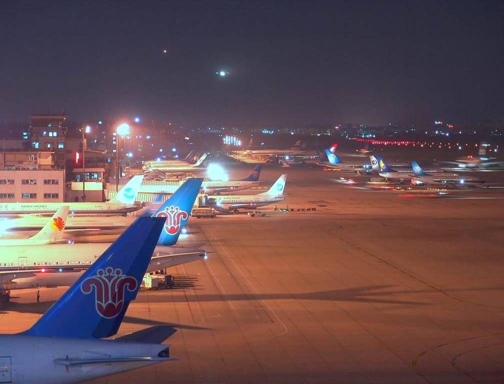
By ?벙 |
Airport Old Guangzhou Baiyun International Airport (_08809) |
|
| 4300 |
7893 |
bali |
2018-05-26 22:28:12 |
 |
By Dwight Burdette - Own work, CC BY 3.0, https://commons.wikimedia.org/w/index.php?curid=11179246 |
Airport Oakland Southwest Airport (_08732) |
|
|
|
|
|
|
|
|
|
| # |
ID
|
Uploaded by
|
Uploaded on
|
Picture
|
Description
|
Related item(s)
|
|