Pictures
| # |
ID


|
Uploaded by
|
Uploaded on

|
Picture
|
Description
|
Related item(s)
|


|
| 4351 |
7842 |
 bali |
2018-05-26 22:19:42 |
 |
By MB298 - Own work, CC BY-SA 4.0, https://commons.wikimedia.org/w/index.php?curid=61095107 |
Airport Longview Ranch Airport (_07264) |
|
| 4352 |
7841 |
bali |
2018-05-26 22:19:34 |
 |
By Ln.sukr.aM - Own work, CC BY-SA 4.0, https://commons.wikimedia.org/w/index.php?curid=49533597 |
Airport Long Lake Helms Seaplane Base (_07241) |
|
| 4353 |
7840 |
bali |
2018-05-26 22:19:24 |
 |
By Richard Lancaster - Own work, CC BY-SA 4.0, https://commons.wikimedia.org/w/index.php?curid=64552331 |
Airport London Gliding Club (_07234) |
|
| 4354 |
7839 |
bali |
2018-05-26 22:19:16 |
 |
By United States Department of Agriculture (USDA), Farm Services Agency - National Agriculture Imagery Program (NAIP) Orthoimagery for Zone 16 Alabama State Quarter Quadrangle SAMSON, NE and I.D. # n_3108664_ne_16_1_20061103.tif, Public Domain, http |
Airport Logan Field (Alabama) (_07209) |
|
| 4355 |
7838 |
bali |
2018-05-26 22:19:03 |
 |
By United States Government - US National Archives via http://www.airfields-freeman.com/MD/Airfields_MD_Balt_SE.htm, Public Domain, https://commons.wikimedia.org/w/index.php?curid=25671322 |
Airport Logan Field (Airport) (_07208) |
|
| 4356 |
7837 |
bali |
2018-05-26 22:18:52 |
 |
By United States Government - http://www.airfields-freeman.com/FL/Airfields_FL_TampaN.htm#lodwick, Public Domain, https://commons.wikimedia.org/w/index.php?curid=20360261 |
Airport Lodwick Field (_07204) |
|
| 4357 |
7836 |
bali |
2018-05-26 22:18:42 |
 |
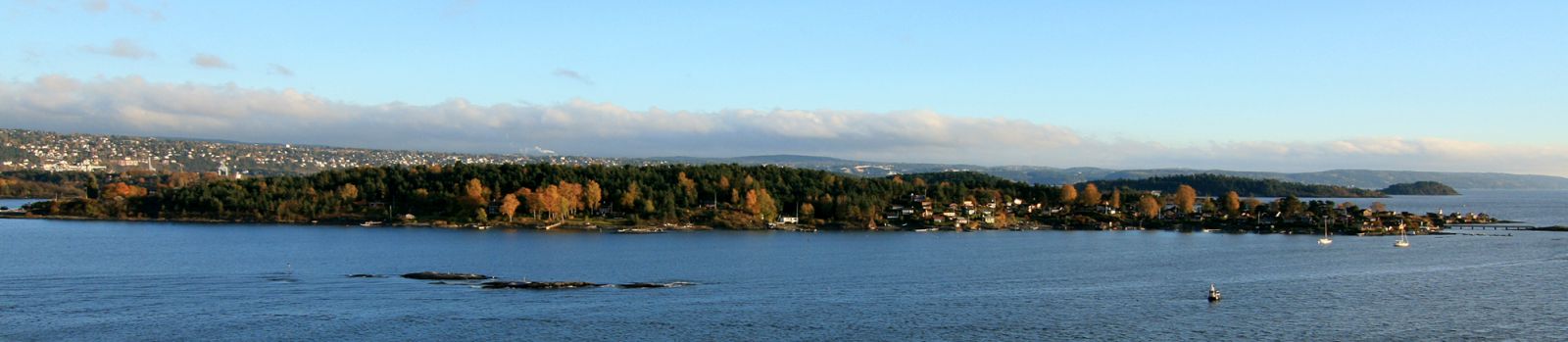
By Mahlum - Own work, Public Domain, https://commons.wikimedia.org/w/index.php?curid=2927852 |
Airport Lindøye Seaplane Base (_07154) |
|
| 4358 |
7835 |
bali |
2018-05-26 22:18:34 |
 |
By Royal Navy official photographer - http://media.iwm.org.uk/iwm/mediaLib//31/media-31207/large.jpgThis is photograph A 30297 from the collections of the Imperial War Museums., Public Domain, https://commons.wikimedia.org/w/index.php?curid=25117515 |
Airport Lily and Clover (_07137) |
|
| 4359 |
7834 |
bali |
2018-05-26 22:18:21 |
 |
By United States Geological Survey (USGS) - USGS digital orthophoto via MSR Maps, Public Domain, https://commons.wikimedia.org/w/index.php?curid=10656023 |
Airport Liberty County Airport (Georgia) (_07119) |
|
| 4360 |
7833 |
bali |
2018-05-26 22:18:10 |
 |
By Tedder - Own work, CC BY 3.0, https://commons.wikimedia.org/w/index.php?curid=6849889 |
Airport Lexington Airport (Oregon) (_07112) |
|
| 4361 |
7832 |
bali |
2018-05-26 22:18:02 |
 |
By Phil Holmes - Photo taken whilst at Lewa, CC BY-SA 4.0, https://en.wikipedia.org/w/index.php?curid=53126578 |
Airport Lewa Airport (_07108) |
|
| 4362 |
7831 |
bali |
2018-05-26 22:17:52 |
 |
By Hudson hawk, CC BY 3.0, https://commons.wikimedia.org/w/index.php?curid=7291227 |
Airport Letkol Wisnu Airstrip (_07100) |
|
| 4363 |
7830 |
bali |
2018-05-26 22:17:45 |
 |
By User:Nyttend - Own work, Public Domain, https://commons.wikimedia.org/w/index.php?curid=4593695 |
Airport Lebanon-Warren County Airport (_07029) |
|
| 4364 |
7829 |
bali |
2018-05-26 22:17:36 |
 |
By Ichabod - Own work, CC BY-SA 3.0, https://commons.wikimedia.org/w/index.php?curid=32156368 |
Airport Lebanon Municipal Airport (Tennessee) (_07027) |
|
| 4365 |
7828 |
bali |
2018-05-26 22:17:28 |
 |
By United States Geological Survey (USGS) - USGS digital orthophoto via MSR Maps (formerly TerraServer-USA), Public Domain, https://commons.wikimedia.org/w/index.php?curid=8059606 |
Airport Lea County Jal Airport (_07023) |
|
| 4366 |
7827 |
bali |
2018-05-26 22:17:17 |
 |
By matthew lee - Flickr: Layang-Layang diving, CC BY 2.0, https://commons.wikimedia.org/w/index.php?curid=22081357 |
Airport Layang-Layang Airport (_07017) |
|
| 4367 |
7826 |
bali |
2018-05-26 22:17:08 |
 |
By Unknown - http://www.ronaldv.nl/abandoned/airfields/EN/harju.html, Public Domain, https://commons.wikimedia.org/w/index.php?curid=18731030 |
Airport Lasnamäe Airfield (_06999) |
|
| 4368 |
7825 |
bali |
2018-05-26 22:16:58 |
 |
By Dreamyshade - Own work, CC BY-SA 4.0, https://commons.wikimedia.org/w/index.php?curid=40809851 |
Airport LAPD Hooper Heliport (_06945) |
|
| 4369 |
7824 |
bali |
2018-05-26 22:16:50 |
 |
By United States Department of Agriculture (USDA), Farm Services Agency - National Agriculture Imagery Program (NAIP) Orthoimagery for Zone 16 Alabama State Quarter Quadrangle CUSSETA, SE and I.D. # n_3208514_se_16_1_20060621.tif, Public Domain, htt |
Airport Lanett Municipal Airport (_06927) |
|
| 4370 |
7823 |
bali |
2018-05-26 22:16:37 |
 |
By United States Geological Survey (USGS) - USGS via TopoQuesthttp://topoquest.com/map.php?lat=33.481389&lon=-79.887778&datum=nad83&zoom=4&map=sat1m, Public Domain, https://commons.wikimedia.org/w/index.php?curid=20328233 |
Airport Lane Airport (_06924) |
|
| 4371 |
7822 |
bali |
2018-05-26 22:16:25 |
 |
By US Geological Survey - http://www.topoquest.com/map.php?lat=27.89440&lon=-81.62069&datum=nad83&zoom=2&map=sat1m&coord=d&mode=zoomin&size=l, Public Domain, https://commons.wikimedia.org/w/index.php?curid=20507269 |
Airport Lake Wales Municipal Airport (_06897) |
|
| 4372 |
7821 |
bali |
2018-05-26 22:16:13 |
 |
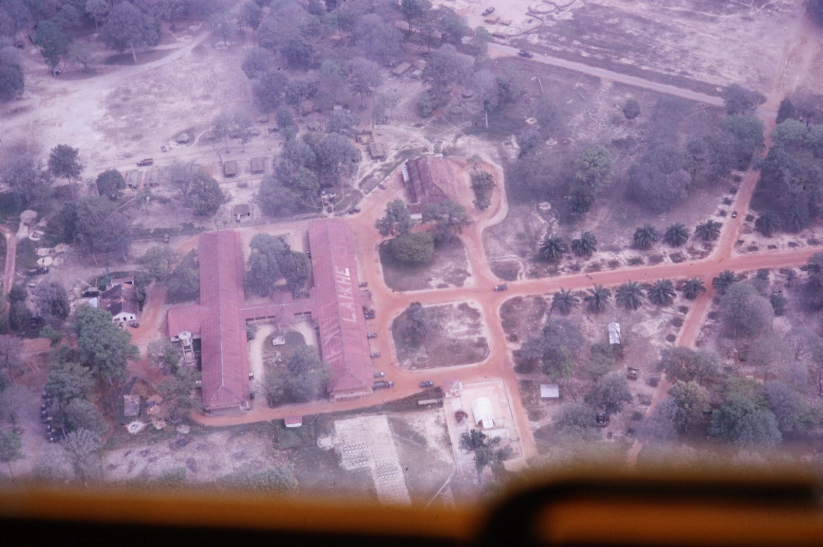
By Jimmy j - Vietnam 65, photo made by me, CC BY-SA 3.0, https://commons.wikimedia.org/w/index.php?curid=25644394 |
Airport Lai Khê (_06861) |
|
| 4373 |
7820 |
bali |
2018-05-26 22:16:05 |
 |
|
Airport Lac Kaiagamac Water Aerodrome (_06819) |
|
| 4374 |
7819 |
bali |
2018-05-26 22:15:59 |
 |
By qqn - Own work, CC BY-SA 3.0, https://commons.wikimedia.org/w/index.php?curid=22779545 |
Airport La Tabatière Airport (_06782) |
|
| 4375 |
7818 |
bali |
2018-05-26 22:15:51 |
 |
By Copyright © National Land Image Information (Color Aerial Photographs), Ministry of Land, Infrastructure, Transport and Tourism, Attribution, https://commons.wikimedia.org/w/index.php?curid=15622032 |
Airport Kokura Airport (_06412) |
|
|
|
|
|
|
|
|
|
| # |
ID
|
Uploaded by
|
Uploaded on
|
Picture
|
Description
|
Related item(s)
|
|