Pictures
| # |
ID


|
Uploaded by
|
Uploaded on

|
Picture
|
Description
|
Related item(s)
|


|
| 4376 |
7817 |
 bali |
2018-05-26 22:15:39 |
 |
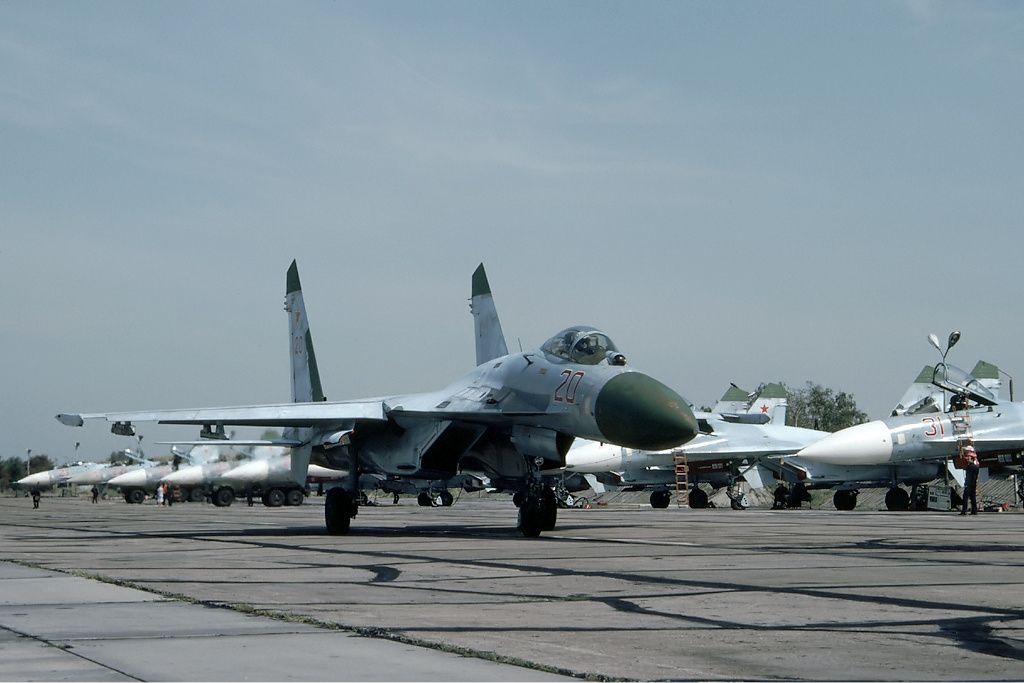
By Rob Schleiffert - http://www.airliners.net/photo/Russia---Air/Sukhoi-Su-27-(Su-27S)/1325749/L/, GFDL 1.2, https://commons.wikimedia.org/w/index.php?curid=20417134 |
Airport Kluczewo Airfield (_06369) |
|
| 4377 |
7816 |
bali |
2018-05-26 22:15:29 |
 |
By United States Geological Survey (USGS) - USGS via TopoQuesthttp://www.topoquest.com/map.php?lat=38.091389&lon=-121.359167&datum=nad83&zoom=4&map=sat1m, Public Domain, https://commons.wikimedia.org/w/index.php?curid=19893002 |
Airport Kingdon Airpark (_06295) |
|
| 4378 |
7815 |
bali |
2018-05-26 22:15:17 |
 |
Public Domain, https://en.wikipedia.org/w/index.php?curid=8299089 |
Airport Kilpyavr (air base) (_06274) |
|
| 4379 |
7814 |
bali |
2018-05-26 22:15:10 |
 |
By Graham Laurence, CC BY 2.0, https://commons.wikimedia.org/w/index.php?curid=26116253 |
Airport Kikoboga Airstrip (_06257) |
|
| 4380 |
7813 |
bali |
2018-05-26 22:14:59 |
 |
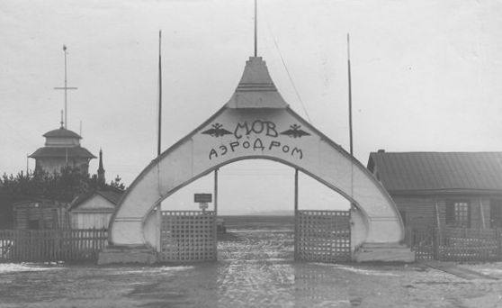
By Unknown - first source, second source (из личного архива Ю. А. Екатова), Public Domain, https://commons.wikimedia.org/w/index.php?curid=7969521 |
Airport Khodynka Airport (_06225) |
|
| 4381 |
7812 |
bali |
2018-05-26 22:14:50 |
 |
By Task Force Falcon Public Affairs Office - KFOR, Task Force Falcon Public Affairs Office, Public Domain, https://commons.wikimedia.org/w/index.php?curid=4242004 |
Airport KFOR Base Airfield (_06200) |
|
| 4382 |
7811 |
bali |
2018-05-26 22:14:40 |
 |
By United States Geological Survey (USGS) - USGS The National Map, via MSR Maps (formerly TerraServer-USA)http://msrmaps.com/map.aspx?t=1&s=12&lon=-82.047528&lat=29.84475&w=600&h=400, Public Domain, https://commons.wikimedia.org/w/index.php?curid=39 |
Airport Keystone Heights Airport (_06199) |
|
| 4383 |
7810 |
bali |
2018-05-26 22:14:27 |
 |
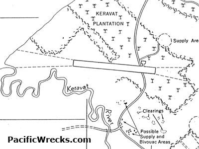
By United States Army Air Forces (USAAF) - http://www.pacificwrecks.com/airfields/png/kerevat/maps/map-keravat-5-26-43-cu.html, Public Domain, https://commons.wikimedia.org/w/index.php?curid=21258631 |
Airport Kerevat Airfield (_06186) |
|
| 4384 |
7809 |
bali |
2018-05-26 22:14:16 |
 |
By Reinier044 - Own work, CC BY-SA 4.0, https://commons.wikimedia.org/w/index.php?curid=46579052 |
Airport Kennemer Zweefvlieg Club (_06177) |
|
| 4385 |
7808 |
bali |
2018-05-26 22:14:07 |
 |
By Валерий Дед, CC BY 3.0, https://commons.wikimedia.org/w/index.php?curid=56108981 |
Airport Kempinski Emirates Palace Twin Heliport (_06169) |
|
| 4386 |
7807 |
bali |
2018-05-26 22:13:58 |
 |
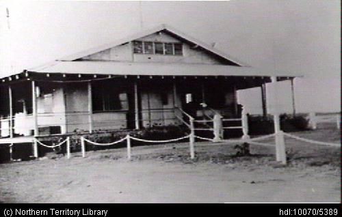
By Unknown - http://hdl.handle.net/10070/5389, Public Domain, https://commons.wikimedia.org/w/index.php?curid=39848530 |
Airport Katherine Airfield (_06108) |
|
| 4387 |
7806 |
bali |
2018-05-26 22:13:50 |
 |
By Own work, Public Domain, https://commons.wikimedia.org/w/index.php?curid=26831663 |
Airport Katama Airpark (_06105) |
|
| 4388 |
7805 |
bali |
2018-05-26 22:13:42 |
 |
By uknown - http://www.malmiairport.fi/historia/, Public Domain, https://commons.wikimedia.org/w/index.php?curid=41856675 |
Airport Katajanokka Airport (_06104) |
|
| 4389 |
7804 |
bali |
2018-05-26 22:13:33 |
 |
By Visitor7 - Own work, CC BY-SA 3.0, https://commons.wikimedia.org/w/index.php?curid=26006992 |
Airport Karpens Airport (_06079) |
|
| 4390 |
7803 |
bali |
2018-05-26 22:13:24 |
 |
By Trinidade - Own work, CC BY-SA 3.0, https://commons.wikimedia.org/w/index.php?curid=21370638 |
Airport Karad Airport (_06054) |
|
| 4391 |
7802 |
bali |
2018-05-26 22:13:16 |
 |
By Polarbearstar - Own work, CC BY-SA 4.0, https://commons.wikimedia.org/w/index.php?curid=64775015 |
Airport Kannur International Airport (_06023) |
|
| 4392 |
7801 |
bali |
2018-05-26 22:13:07 |
 |
By Alaskaair - Own work, CC BY-SA 3.0, https://commons.wikimedia.org/w/index.php?curid=31401636 |
Airport Kalispell City Airport (_05958) |
|
| 4393 |
7800 |
bali |
2018-05-26 22:12:59 |
 |
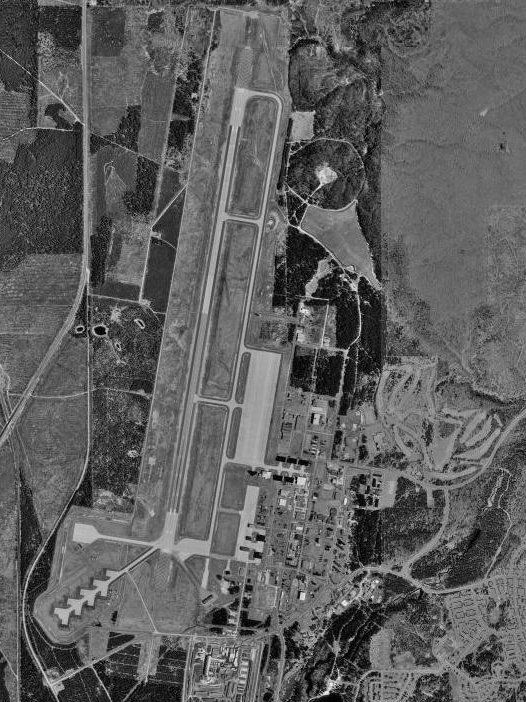
By United States Geological Survey (USGS) - USGS The National Map, via MSR Maps (formerly TerraServer-USA)http://msrmaps.com, Public Domain, https://commons.wikimedia.org/w/index.php?curid=3779616 |
Airport K. I. Sawyer Air Force Base (_05907) |
|
| 4394 |
7799 |
bali |
2018-05-26 22:12:47 |
 |
By United States Geological Survey (USGS) - USGS via TopoQuesthttp://www.topoquest.com/map.php?lat=33.61250&lon=-96.17861&datum=nad83&zoom=4&map=sat1m&coord=d&mode=zoomin&size=m, Public Domain, https://commons.wikimedia.org/w/index.php?curid=1954238 |
Airport Jones Field (_05861) |
|
| 4395 |
7798 |
bali |
2018-05-26 22:12:35 |
 |
By United States Department of Agriculture - http://www.airfields-freeman.com/FL/Airfields_FL_Jax_NW.htm#jasper, Public Domain, https://commons.wikimedia.org/w/index.php?curid=20363664 |
Airport Jasper Intermediate Field (_05791) |
|
| 4396 |
7797 |
bali |
2018-05-26 22:12:23 |
 |
By Sunnya343 - Own work, CC BY-SA 4.0, https://commons.wikimedia.org/w/index.php?curid=61336814 |
Airport Jakkur Aerodrome (_05773) |
|
| 4397 |
7796 |
bali |
2018-05-26 22:12:14 |
 |
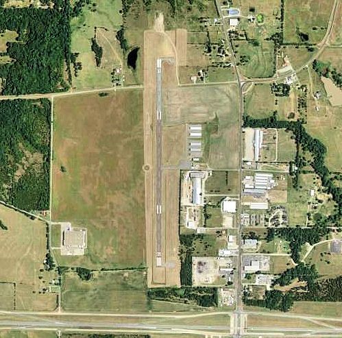
By United States Department of Agriculture (USDA), Farm Services Agency - National Agriculture Imagery Program (NAIP) Orthoimagery for Zone 16 Alabama State Quarter Quadrangle PRESTWICK, NE and I.D. # n_3108733_ne_16_1_20060630.tif, Public Domain, h |
Airport Jackson Municipal Airport (Alabama) (_05763) |
|
| 4398 |
7795 |
bali |
2018-05-26 22:12:00 |
 |
By Vussiewussie - Own work, CC BY-SA 4.0, https://commons.wikimedia.org/w/index.php?curid=63814965 |
Airport Istanbul New Airport (_05723) |
|
| 4399 |
7794 |
bali |
2018-05-26 22:11:51 |
 |
By United States Department of Agriculture (USDA), Farm Services Agency - National Agriculture Imagery Program (NAIP) Orthoimagery for Zone 16 Alabama State Quarter Quadrangle FORT PAYNE, NW and I.D. # n_3408535_nw_16_1_20060615.tif, Public Domain, |
Airport Isbell Field (_05698) |
|
| 4400 |
7793 |
bali |
2018-05-26 22:11:38 |
 |
By United States Geological Survey (USGS) - USGS via TopoQuesthttp://www.topoquest.com/map.php?lat=36.736944&lon=-118.145&datum=nad83&zoom=4&map=sat1m, Public Domain, https://commons.wikimedia.org/w/index.php?curid=19907460 |
Airport Inyo County Airport (_05670) |
|
|
|
|
|
|
|
|
|
| # |
ID
|
Uploaded by
|
Uploaded on
|
Picture
|
Description
|
Related item(s)
|
|