Pictures
| # |
ID


|
Uploaded by
|
Uploaded on

|
Picture
|
Description
|
Related item(s)
|


|
| 4401 |
7792 |
 bali |
2018-05-26 22:11:26 |
 |
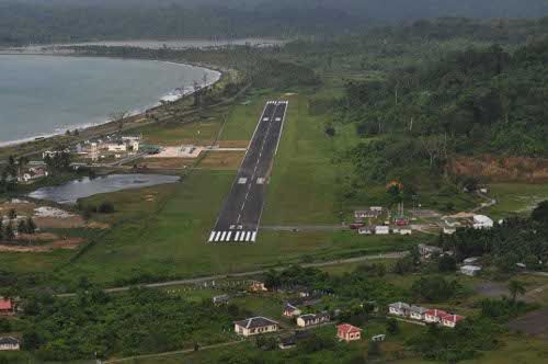
By Indian Navy, CC BY 2.5 in, https://commons.wikimedia.org/w/index.php?curid=32241774 |
Airport INS Parundu (_05651) |
|
| 4402 |
7791 |
bali |
2018-05-26 22:11:18 |
 |
By Indian Navy, CC BY 2.5 in, https://commons.wikimedia.org/w/index.php?curid=30501240 |
Airport INS Baaz (_05650) |
|
| 4403 |
7790 |
bali |
2018-05-26 22:11:09 |
 |
By United States Department of Agriculture - http://www.airfields-freeman.com/FL/Airfields_FL_Jax_NE.htm, Public Domain, https://commons.wikimedia.org/w/index.php?curid=20395252 |
Airport Imeson Field (_05614) |
|
| 4404 |
7789 |
bali |
2018-05-26 22:10:59 |
 |
By Ritwikbmca (talk) - I (Ritwikbmca (talk)) created this work entirely by myself., CC BY-SA 3.0, https://en.wikipedia.org/w/index.php?curid=26847043 |
Airport IIT Kanpur Airport (_05584) |
|
| 4405 |
7788 |
bali |
2018-05-26 22:10:49 |
 |
By Civil Air Patrol - Arkansas Department of Aeronautics, Public Domain, https://commons.wikimedia.org/w/index.php?curid=50948924 |
Airport Huntsville Municipal Airport (Arkansas) (_05543) |
|
| 4406 |
7787 |
bali |
2018-05-26 22:10:40 |
 |
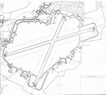
By Air Ministry - http://www.hunsdonmicrolightclub.info/, Public Domain, https://commons.wikimedia.org/w/index.php?curid=5040149 |
Airport Hunsdon Airfield (_05537) |
|
| 4407 |
7786 |
bali |
2018-05-26 22:10:31 |
 |
By United States Geological Survey (USGS) - USGS The National Map, via MSR Maps (formerly TerraServer-USA)http://msrmaps.com/map.aspx?t=1&s=10&lon=-87.738&lat=36.1164&w=1300&h=1300, Public Domain, https://commons.wikimedia.org/w/index.php?curid=4004 |
Airport Humphreys County Airport (_05535) |
|
| 4408 |
7785 |
bali |
2018-05-26 22:10:18 |
 |
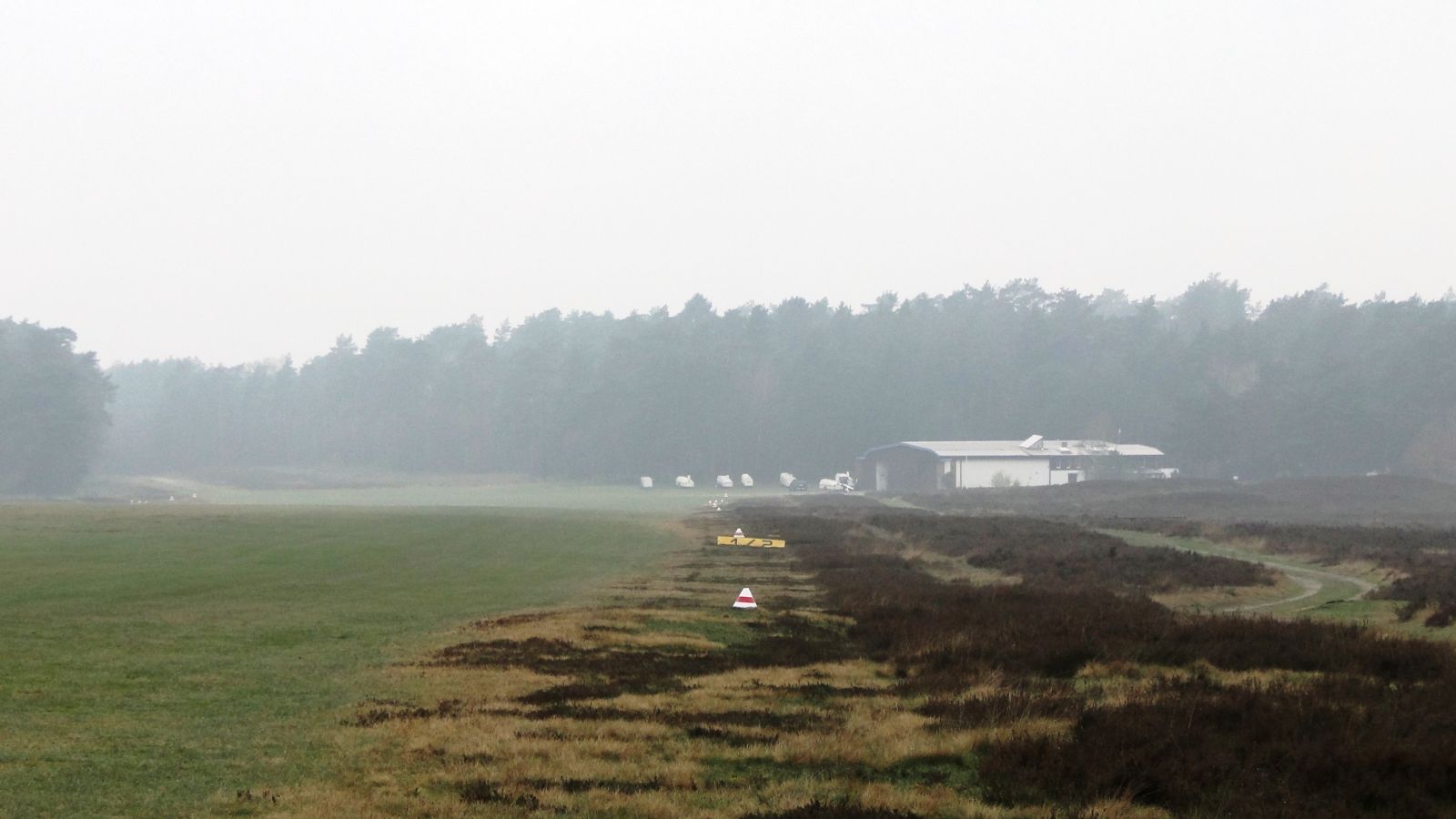
By Drow69 - Own work, CC BY-SA 3.0, https://commons.wikimedia.org/w/index.php?curid=32425517 |
Airport Höpen Airfield (_05506) |
|
| 4409 |
7784 |
bali |
2018-05-26 22:10:09 |
 |
By Civil Air Patrol - Arkansas Department of Aeronautics, Public Domain, https://commons.wikimedia.org/w/index.php?curid=50948840 |
Airport Hope Municipal Airport (_05405) |
|
| 4410 |
7783 |
bali |
2018-05-26 22:10:00 |
 |
By NASA World Wind - NASA World Wind - screenshot from version 1.4.0, Public Domain, https://commons.wikimedia.org/w/index.php?curid=14610055 |
Airport Hope Brook Aerodrome (_05404) |
|
| 4411 |
7782 |
bali |
2018-05-26 22:09:50 |
 |
By Federal Aviation Administration, Alaska Region - Image: 5HO-b Hope Oblique South. Archived from the original on 2009-01-14.Web site: Alaska Airport Photos and Diagrams. Archived from the original on 2009-05-16., Public Domain, https://commons.wik |
Airport Hope Airport (Alaska) (_05403) |
|
| 4412 |
7781 |
bali |
2018-05-26 22:09:38 |
 |
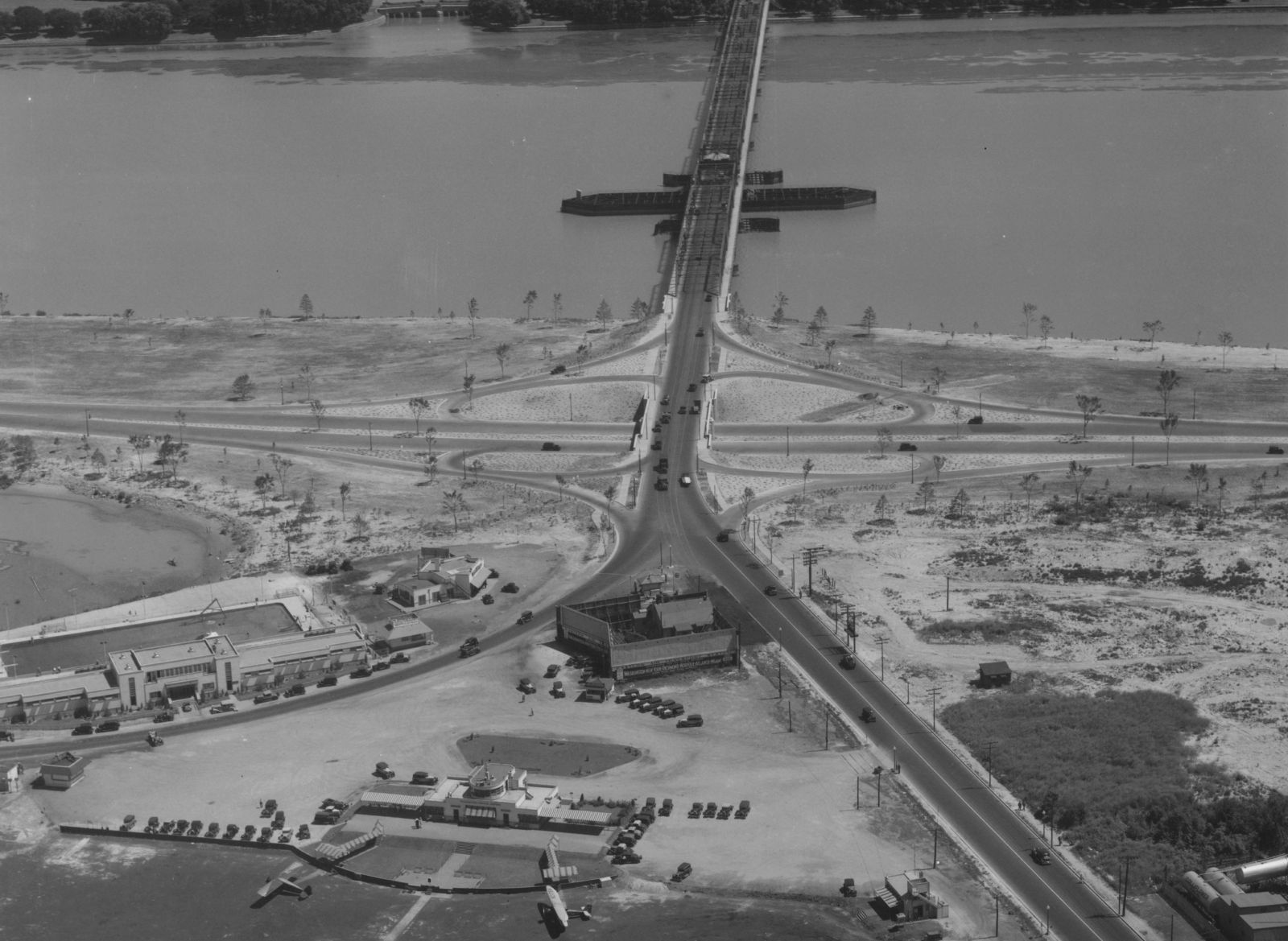
By Historic American Engineering Record - This image is available from the United States Library of Congress's Prints and Photographs division under the digital ID hhh.va1677.This tag does not indicate the copyright status of the attached work. A no |
Airport Hoover Field (_05402) |
|
| 4413 |
7780 |
bali |
2018-05-26 22:09:26 |
 |
By Copyright © National Land Image Information (Color Aerial Photographs), Ministry of Land, Infrastructure, Transport and Tourism, Attribution, https://commons.wikimedia.org/w/index.php?curid=27929659 |
Airport Honda Airport (_05388) |
|
| 4414 |
7779 |
bali |
2018-05-26 22:09:14 |
 |
By U.S. Air Force - http://www.nationalmuseum.af.mil/shared/media/photodb/photos/050503-F-1234P-013.jpg, Public Domain, https://commons.wikimedia.org/w/index.php?curid=37821699 |
Airport Hòa L (_05353) |
|
| 4415 |
7778 |
bali |
2018-05-26 22:09:04 |
 |
|
Airport Hereford Aux AAF (_05295) |
|
| 4416 |
7777 |
bali |
2018-05-26 22:08:58 |
 |
By No. 114 Squadron RAF - This is photograph C 2724 from the collections of the Imperial War Museums (collection no. 4700-11), Public Domain, https://commons.wikimedia.org/w/index.php?curid=12435246 |
Airport Herdla Airport (_05294) |
|
| 4417 |
7776 |
bali |
2018-05-26 22:08:47 |
 |
By United States Geological Survey (USGS) - USGS via TopoQuesthttp://www.topoquest.com/map.php?lat=32.12037&lon=-87.37486&datum=nad83&zoom=4&map=sat1m&coord=d&mode=pan&size=l, Public Domain, https://commons.wikimedia.org/w/index.php?curid=20158596 |
Airport Henderson Airport (Alabama) (_05282) |
|
| 4418 |
7775 |
bali |
2018-05-26 22:08:34 |
 |
By Skyguy414 at English Wikipedia - Transferred from en.wikipedia to Commons., Public Domain, https://commons.wikimedia.org/w/index.php?curid=1191398 |
Airport Heber City Municipal Airport (_05240) |
|
| 4419 |
7774 |
bali |
2018-05-26 22:08:25 |
 |
By United States Department of Agriculture (USDA), Farm Services Agency - National Agriculture Imagery Program (NAIP) Orthoimagery for Zone 16 Alabama State Quarter Quadrangle HEADLAND, NW and I.D. # n_3108546_nw_16_1_20060624.tif, Public Domain, ht |
Airport Headland Municipal Airport (_05235) |
|
| 4420 |
7773 |
bali |
2018-05-26 22:08:11 |
 |
By Civil Air Patrol - Arkansas Department of Aeronautics, Public Domain, https://commons.wikimedia.org/w/index.php?curid=50948758 |
Airport Hazen Municipal Airport (_05232) |
|
| 4421 |
7772 |
bali |
2018-05-26 22:08:02 |
 |
By United States Geological Survey (USGS) - USGS digital orthophoto via MSR Maps (formerly TerraServer-USA), Public Domain, https://commons.wikimedia.org/w/index.php?curid=7514941 |
Airport Haynesville Airport (_05229) |
|
| 4422 |
7771 |
bali |
2018-05-26 22:07:52 |
 |
By United States Army Air Forces - United States Army Air Forces, Public Domain, https://commons.wikimedia.org/w/index.php?curid=45398443 |
Airport Hawthorne School of Aeronautics (_05219) |
|
| 4423 |
7770 |
bali |
2018-05-26 22:07:42 |
 |
By United States Geological Survey (USGS) - USGS via TopoQuesthttp://www.topoquest.com/map.php?lat=40.65139&lon=-98.07972&datum=nad83&zoom=4&map=sat1m&coord=d&mode=zoomin&size=l, Public Domain, https://commons.wikimedia.org/w/index.php?curid=1957979 |
Airport Harvard State Airport (_05168) |
|
| 4424 |
7769 |
bali |
2018-05-26 22:07:29 |
 |
By United States Department of Agriculture (USDA), Farm Services Agency - National Agriculture Imagery Program (NAIP) Orthoimagery for Zone 16 Alabama State Quarter Quadrangle HARTSELLE, SW and I.D. # n_3408633_sw_16_1_20060824.tif, Public Domain, h |
Airport Hartselle-Morgan County Regional Airport (_05164) |
|
| 4425 |
7768 |
bali |
2018-05-26 22:07:16 |
 |
By Aharrin1 - Own work, CC BY-SA 3.0, https://commons.wikimedia.org/w/index.php?curid=31534876 |
Airport Harford County Airport (_05145) |
|
|
|
|
|
|
|
|
|
| # |
ID
|
Uploaded by
|
Uploaded on
|
Picture
|
Description
|
Related item(s)
|
|