Pictures
| # |
ID


|
Uploaded by
|
Uploaded on

|
Picture
|
Description
|
Related item(s)
|


|
| 4426 |
7767 |
 bali |
2018-05-26 22:07:08 |
 |
By United States Army Air Forces - http://www.airfieldsdatabase.com/WW2/WW2%20R26c1%20AL-CA.htm Image listed as USAF, Public Domain, https://commons.wikimedia.org/w/index.php?curid=19906142 |
Airport Hancock Field (California) (_05122) |
|
| 4427 |
7766 |
bali |
2018-05-26 22:06:57 |
 |
By United States Geological Survey (USGS) - USGS via TopoQuesthttp://www.topoquest.com/map.php?lat=39.721111&lon=-122.146667&datum=nad83&zoom=4&map=sat1m, Public Domain, https://commons.wikimedia.org/w/index.php?curid=19860554 |
Airport Haigh Field Airport (_05091) |
|
| 4428 |
7765 |
bali |
2018-05-26 22:06:45 |
 |
By United States Department of Agriculture (USDA), Farm Services Agency - National Agriculture Imagery Program (NAIP) Orthoimagery for Zone 16 Alabama State Quarter Quadrangle MOUNT CARMEL, SE and I.D. # n_3408638_se_16_1_20060629.tif, Public Domain |
Airport Guntersville Municipal Airport (_05009) |
|
| 4429 |
7764 |
bali |
2018-05-26 22:06:32 |
 |
By Nyttend - Own work, Public Domain, https://commons.wikimedia.org/w/index.php?curid=2231401 |
Airport Grimes Field (_04925) |
|
| 4430 |
7763 |
bali |
2018-05-26 22:06:23 |
 |
By United States Geological Survey (USGS) - USGS via TopoQuesthttp://www.topoquest.com/map.php?lat=34.56617&lon=-117.67638&datum=nad83&zoom=4&map=sat1m&coord=d&mode=pan&size=m, Public Domain, https://commons.wikimedia.org/w/index.php?curid=19896396 |
Airport Grey Butte Field Airport (_04918) |
|
| 4431 |
7762 |
bali |
2018-05-26 22:06:10 |
 |
By United States Geological Survey (USGS) - USGS The National Map, via MSR Maps (formerly TerraServer-USA)http://msrmaps.com/map.aspx?t=1&s=12&lon=-91.001389&lat=33.3875&w=600&h=400, Public Domain, https://commons.wikimedia.org/w/index.php?curid=201 |
Airport Greenville Municipal Airport (Mississippi) (_04910) |
|
| 4432 |
7761 |
bali |
2018-05-26 22:05:57 |
 |
By United States Department of Agriculture (USDA), Farm Services Agency - National Agriculture Imagery Program (NAIP) Orthoimagery for Zone 16 Alabama State Quarter Quadrangle MELTON, NE and I.D. # n_3208719_ne_16_1_20060630.tif, Public Domain, http |
Airport Greensboro Municipal Airport (_04904) |
|
| 4433 |
7760 |
bali |
2018-05-26 22:05:44 |
 |
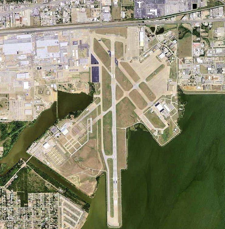
By United States Geological Survey (USGS) - USGS via TopoQuesthttp://www.topoquest.com/map.php?lat=32.74&lon=-96.97&datum=nad83&zoom=4&map=sat1m, Public Domain, https://commons.wikimedia.org/w/index.php?curid=19548134 |
Airport Grand Prairie Armed Forces Reserve Complex (_04855) |
|
| 4434 |
7759 |
bali |
2018-05-26 22:05:32 |
 |
By Jonen - Own work, CC BY 3.0, https://commons.wikimedia.org/w/index.php?curid=6344563 |
Airport Göviken Heliport (_04831) |
|
| 4435 |
7758 |
bali |
2018-05-26 22:05:24 |
 |
By United States Geological Survey (USGS) - USGS The National Map, via MSR Maps (formerly TerraServer-USA), Public Domain, https://commons.wikimedia.org/w/index.php?curid=3699311 |
Airport Glasgow Industrial Airport (_04727) |
|
| 4436 |
7757 |
bali |
2018-05-26 22:05:13 |
 |
By Ryharv at en.wikipedia, CC BY 3.0, https://commons.wikimedia.org/w/index.php?curid=18201522 |
Airport Gila River Memorial Airport (_04690) |
|
| 4437 |
7756 |
bali |
2018-05-26 22:05:04 |
 |
By United States Department of Agriculture - US Department of Agriculture via http://www.airfieldsdatabase.com/WW2/WW2%20R27e%20ID-NH.htm, Public Domain, https://commons.wikimedia.org/w/index.php?curid=27612573 |
Airport George Army Airfield (_04659) |
|
| 4438 |
7755 |
bali |
2018-05-26 22:04:52 |
 |
By TDOT - http://www.tdot.state.tn.us/aeronautics/airports/images/Memphis-Dewitt%20Spain.JPG, Public Domain, https://commons.wikimedia.org/w/index.php?curid=7396078 |
Airport General DeWitt Spain Airport (_04644) |
|
| 4439 |
7754 |
bali |
2018-05-26 22:04:42 |
 |
By Benjamin Chodroff - https://www.flickr.com/photos/benjaminchodroff/3474027520, https://www.flickr.com/photos/benjaminchodroff/3473220673, CC BY 2.0, https://commons.wikimedia.org/w/index.php?curid=32277427 |
Airport Geauga County Airport (_04628) |
|
| 4440 |
7753 |
bali |
2018-05-26 22:04:31 |
 |
By Civil Air Patrol - Arkansas Department of Aeronautics, Public Domain, https://commons.wikimedia.org/w/index.php?curid=50948974 |
Airport Gaston's Airport (_04614) |
|
| 4441 |
7752 |
bali |
2018-05-26 22:04:21 |
 |
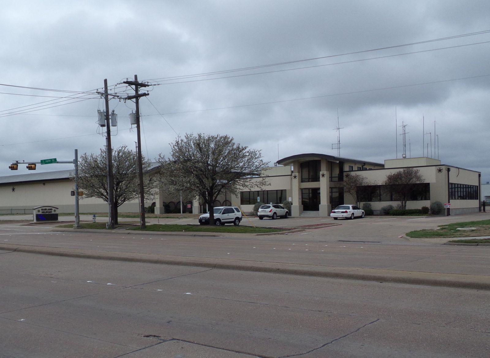
By Carguychris - Own work, CC BY-SA 4.0, https://commons.wikimedia.org/w/index.php?curid=38953383 |
Airport Garland/DFW Heloplex (_04601) |
|
| 4442 |
7751 |
bali |
2018-05-26 22:04:13 |
 |
By Mike Cline - Own work, Public Domain, https://commons.wikimedia.org/w/index.php?curid=8851923 |
Airport Gardiner Airport (_04596) |
|
| 4443 |
7750 |
bali |
2018-05-26 22:04:03 |
 |
By United States Geological Survey (USGS) - USGS via TopoQuesthttp://www.topoquest.com/map.php?lat=33.74528&lon=-85.78064&datum=nad83&zoom=2&map=sat1m&coord=d&mode=zoomin&size=l, Public Domain, https://commons.wikimedia.org/w/index.php?curid=2015828 |
Airport Fort McClellan Army Airfield (_04423) |
|
| 4444 |
7749 |
bali |
2018-05-26 22:03:50 |
 |
By Civil Air Patrol - Arkansas Department of Aeronautics, Public Domain, https://commons.wikimedia.org/w/index.php?curid=50948579 |
Airport Fordyce Municipal Airport (_04400) |
|
| 4445 |
7748 |
bali |
2018-05-26 22:03:41 |
 |
By Mr. Matté (if there is an issue with this image, contact me using this image's Commons talk page or my English Wikipedia talk page; I'll know about it a lot faster) - Own work, CC BY 4.0, https://commons.wikimedia.org/w/index.php?curid=58138096 |
Airport Flying W Airport (_04389) |
|
| 4446 |
7747 |
bali |
2018-05-26 22:03:28 |
 |
By United States Department of Agriculture (USDA), Farm Services Agency - National Agriculture Imagery Program (NAIP) Orthoimagery for Zone 16 Alabama State Quarter Quadrangle FLORALA, SW and I.D. # n_3108662_sw_16_1_20060820.tif, Public Domain, htt |
Airport Florala Municipal Airport (_04345) |
|
| 4447 |
7746 |
bali |
2018-05-26 22:03:14 |
 |
By United States Department of Agriculture - http://www.airfields-freeman.com/FL/Airfields_FL_Daytona.htm#flagler, Public Domain, https://commons.wikimedia.org/w/index.php?curid=20362465 |
Airport Flagler Beach Airport (_04338) |
|
| 4448 |
7745 |
bali |
2018-05-26 22:03:04 |
 |
By Tedder - Own work, CC BY 3.0, https://commons.wikimedia.org/w/index.php?curid=7977751 |
Airport Faust Field (_04248) |
|
| 4449 |
7744 |
bali |
2018-05-26 22:02:55 |
 |
By The original uploader was Americasroof at English Wikipedia - Transferred from en.wikipedia to Commons., CC BY-SA 3.0, https://commons.wikimedia.org/w/index.php?curid=3683342 |
Airport Fairfax Municipal Airport (_04215) |
|
| 4450 |
7743 |
bali |
2018-05-26 22:02:44 |
 |
By United States Geological Survey (USGS) - USGS via TopoQuesthttp://www.topoquest.com/map.php?lat=36.24274&lon=-119.15017&datum=nad83&zoom=2&map=sat1m&coord=d&mode=zoomin&size=m, Public Domain, https://commons.wikimedia.org/w/index.php?curid=199433 |
Airport Exeter Airport (USA) (_04198) |
|
|
|
|
|
|
|
|
|
| # |
ID
|
Uploaded by
|
Uploaded on
|
Picture
|
Description
|
Related item(s)
|
|