Pictures
| # |
ID


|
Uploaded by
|
Uploaded on

|
Picture
|
Description
|
Related item(s)
|


|
| 4476 |
7717 |
 bali |
2018-05-26 21:58:05 |
 |
By Civil Air Patrol - Arkansas Department of Aeronautics, Public Domain, https://commons.wikimedia.org/w/index.php?curid=50948362 |
Airport De Witt Municipal Airport (_03494) |
|
| 4477 |
7716 |
bali |
2018-05-26 21:57:56 |
 |
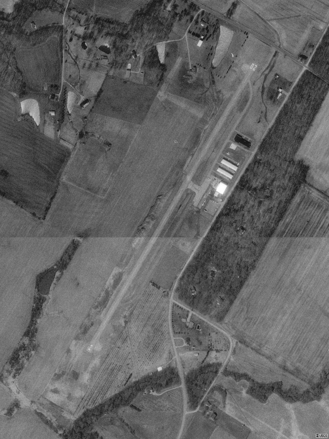
By United States Geological Survey (USGS) - USGS The National Map, via MSR Maps (formerly TerraServer-USA)Interactive map: http://msrmaps.com/map.aspx?t=1&s=11&lat=42.774&lon=-84.488&w=640&h=480Image: http://msrmaps.com/GetImageArea.ashx?t=1&s=10&la |
Airport Davis Airport (Michigan) (_03485) |
|
| 4478 |
7715 |
bali |
2018-05-26 21:57:42 |
 |
|
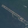
Airport Dauphin Island Airport (_03478) |
|
| 4479 |
7714 |
bali |
2018-05-26 21:57:37 |
 |
By Civil Air Patrol - Arkansas Department of Aeronautics, Public Domain, https://commons.wikimedia.org/w/index.php?curid=50948237 |
Airport Danville Municipal Airport (_03456) |
|
| 4480 |
7713 |
bali |
2018-05-26 21:57:27 |
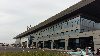 |
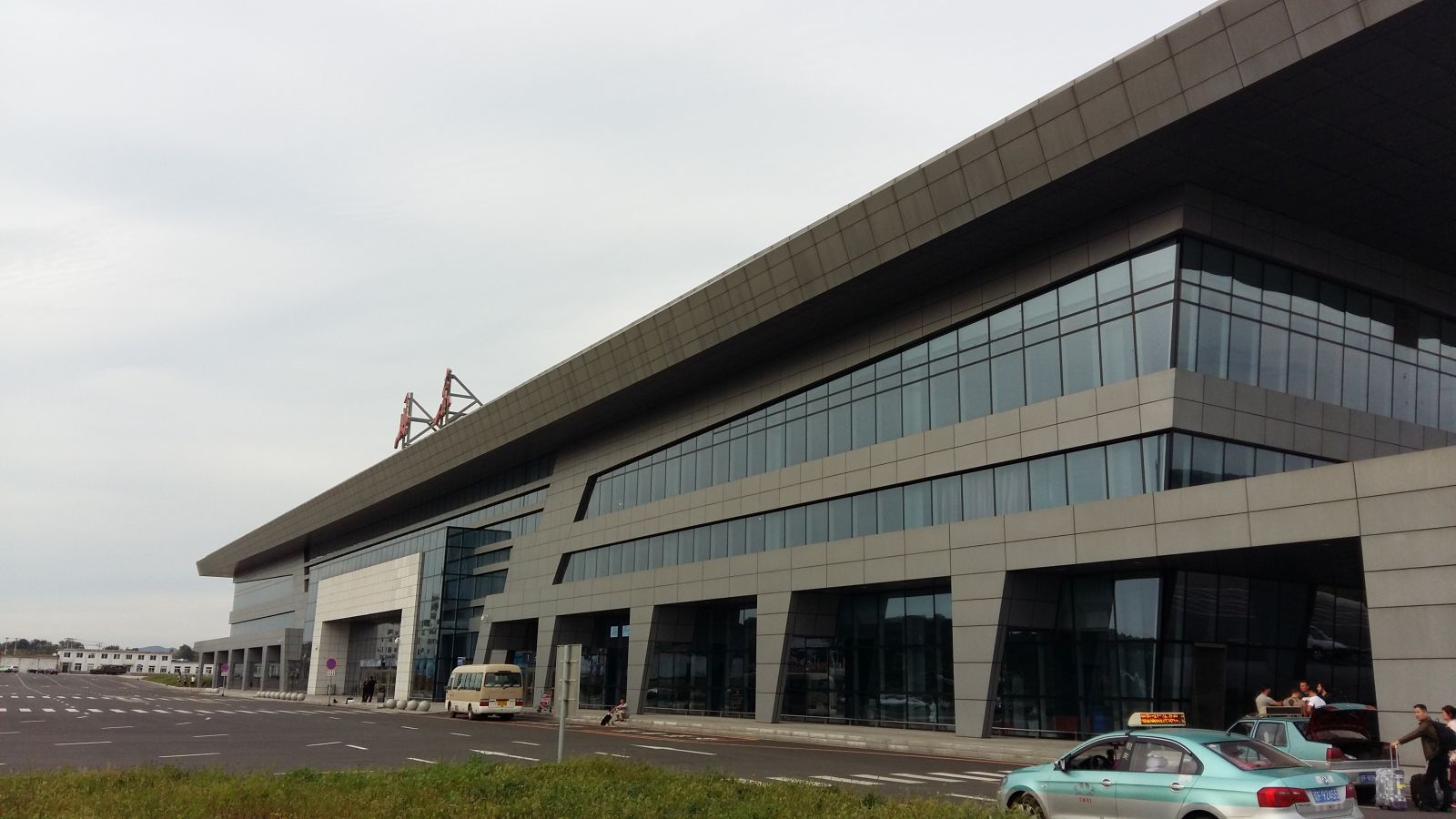
By Topolinochamp - Own work, CC0, https://commons.wikimedia.org/w/index.php?curid=46704793 |
Airport Dandong Airport (_03448) |
|
| 4481 |
7712 |
bali |
2018-05-26 21:57:19 |
 |
By United States Army Air Forces - United States Army Air Forces photograph, Public Domain, https://commons.wikimedia.org/w/index.php?curid=25689842 |
Airport Dalhart Army Airfield (_03439) |
|
| 4482 |
7711 |
bali |
2018-05-26 21:57:09 |
 |
By USGOV - US Government Photograph via Abandoned & Little-Known Airfields: Florida, Tallahassee area http://www.airfields-freeman.com/FL/Airfields_FL_Tallahassee.htm#mabry, Public Domain, https://commons.wikimedia.org/w/index.php?curid=3935359 |
Airport Dale Mabry Field (_03438) |
|
| 4483 |
7710 |
bali |
2018-05-26 21:56:54 |
 |
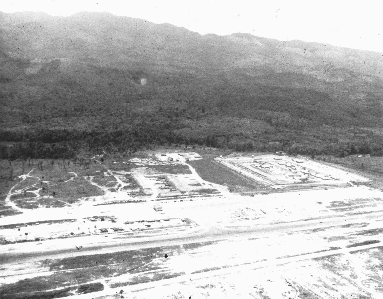
By Marshall, S.L.A. - http://ahecwebdds.carlisle.army.mil/awweb/main.jsp?flag=browse&smd=2&awdid=21, Public Domain, https://commons.wikimedia.org/w/index.php?curid=9800889 |
Airport Đ (_03435) |
|
| 4484 |
7709 |
bali |
2018-05-26 21:56:44 |
 |
By Civil Air Patrol - Arkansas Department of Aeronautics, Public Domain, https://commons.wikimedia.org/w/index.php?curid=50948272 |
Airport Crystal Lake Airport (_03364) |
|
| 4485 |
7708 |
bali |
2018-05-26 21:56:34 |
 |
By Christopher Hilton, CC BY-SA 2.0, https://commons.wikimedia.org/w/index.php?curid=20335561 |
Airport Croydon Airport (_03355) |
|
| 4486 |
7707 |
bali |
2018-05-26 21:56:26 |
 |
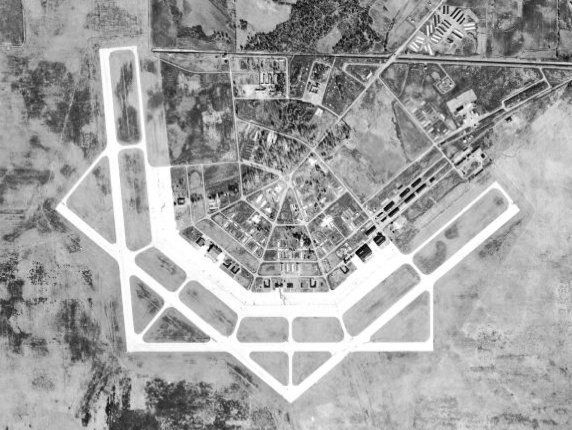
By USGS - US Geological Survey via http://alabamamaps.ua.edu/aerials/Counties/Lawrence/Lawrence_Courtland_Air_Base_1949.html, Public Domain, https://commons.wikimedia.org/w/index.php?curid=4087328 |
Airport Courtland Army Airfield (_03302) |
|
| 4487 |
7706 |
bali |
2018-05-26 21:56:14 |
 |
By Civil Air Patrol - Arkansas Department of Aeronautics, Public Domain, https://commons.wikimedia.org/w/index.php?curid=39887585 |
Airport Corning Municipal Airport (Arkansas) (_03266) |
|
| 4488 |
7705 |
bali |
2018-05-26 21:56:05 |
 |
By Federal Aviation Administration, Alaska Region - Image: http://www.alaska.faa.gov/fai/images/CTRLGLF/CKU-c.jpgWeb site: Alaska Airport Photos and Diagrams. Archived from the original on 2007-11-14., Public Domain, https://commons.wikimedia.org/w/ |
Airport Cordova Army Airfield (_03260) |
|
| 4489 |
7704 |
bali |
2018-05-26 21:55:53 |
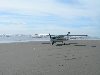 |
By Jelson25 - Own work, Public Domain, https://commons.wikimedia.org/w/index.php?curid=7422071 |
Airport Copalis State Airport (_03254) |
|
| 4490 |
7703 |
bali |
2018-05-26 21:55:45 |
 |
By John Phelan - Own work, CC BY-SA 3.0, https://commons.wikimedia.org/w/index.php?curid=24469098 |
Airport Coonamessett Airport (_03250) |
|
| 4491 |
7702 |
bali |
2018-05-26 21:55:36 |
 |
By United States Geological Survey - USGS via TopoQuest, Public Domain, https://commons.wikimedia.org/w/index.php?curid=17352920 |
Airport Coolidge Municipal Airport (_03249) |
|
| 4492 |
7701 |
bali |
2018-05-26 21:55:27 |
 |
By Vachon, John, 1914-1975 - Farm Security Administration - Office of War Information Photograph Collection (Library of Congress)This image is available from the United States Library of Congress's Prints and Photographs division under the digital I |
Airport Congressional Airport (_03240) |
|
| 4493 |
7700 |
bali |
2018-05-26 21:55:15 |
 |
By United States Geological Survey (USGS) - USGS via TopoQuesthttp://www.topoquest.com/map.php?lat=30.915556&lon=-84.608889&datum=nad83&zoom=4&map=sat1m, Public Domain, https://commons.wikimedia.org/w/index.php?curid=20248196 |
Airport Commodore Decatur Airport (_03221) |
|
| 4494 |
7699 |
bali |
2018-05-26 21:55:03 |
 |
By Source-U.S. Army Transportation Museum.Image-1st Aero Squadron on Mexican US border, 1916http://www.transchool.eustis.army.mil/Museum/MexWar.htm, Public Domain, https://commons.wikimedia.org/w/index.php?curid=2214451 |
Airport Columbus Municipal Airport (New Mexico) (_03211) |
|
| 4495 |
7698 |
bali |
2018-05-26 21:54:51 |
 |
By The original uploader was Postoak at English Wikipedia - Transferred from en.wikipedia to Commons by Xnatedawgx using CommonsHelper., CC BY 2.0, https://commons.wikimedia.org/w/index.php?curid=6612236 |
Airport Colorado Springs East Airport (_03204) |
|
| 4496 |
7697 |
bali |
2018-05-26 21:54:40 |
 |
By Bundesarchiv, Bild 183-S28276 / CC-BY-SA 3.0, CC BY-SA 3.0 de, https://commons.wikimedia.org/w/index.php?curid=5369359 |
Airport Cologne Butzweilerhof Airport (_03194) |
|
| 4497 |
7696 |
bali |
2018-05-26 21:54:31 |
 |
By United States Geological Survey (USGS) - USGS via TopoQuesthttp://www.topoquest.com/map.php?lat=36.1575&lon=-120.359722&datum=nad83&zoom=4&map=sat1m, Public Domain, https://commons.wikimedia.org/w/index.php?curid=19886375 |
Airport Coalinga Municipal Airport (Old) (_03162) |
|
| 4498 |
7695 |
bali |
2018-05-26 21:54:19 |
 |
By United States Geological Survey (USGS) - USGS The National Map, via MSR Maps (formerly TerraServer-USA)http://msrmaps.com/map.aspx?t=1&s=10&lat=39.5025&lon=-83.8633&w=1050&h=1400, Public Domain, https://commons.wikimedia.org/w/index.php?curid=774 |
Airport Clinton Field (_03140) |
|
| 4499 |
7694 |
bali |
2018-05-26 21:54:06 |
 |
|
Airport Clayton Municipal Airport (Alabama) (_03115) |
|
| 4500 |
7693 |
bali |
2018-05-26 21:54:00 |
 |
By Civil Air Patrol - Arkansas Department of Aeronautics, Public Domain, https://commons.wikimedia.org/w/index.php?curid=39887557 |
Airport Clarksville Municipal Airport (_03112) |
|
|
|
|
|
|
|
|
|
| # |
ID
|
Uploaded by
|
Uploaded on
|
Picture
|
Description
|
Related item(s)
|
|