Pictures
| # |
ID


|
Uploaded by
|
Uploaded on

|
Picture
|
Description
|
Related item(s)
|


|
| 4501 |
7692 |
 bali |
2018-05-26 21:53:51 |
 |
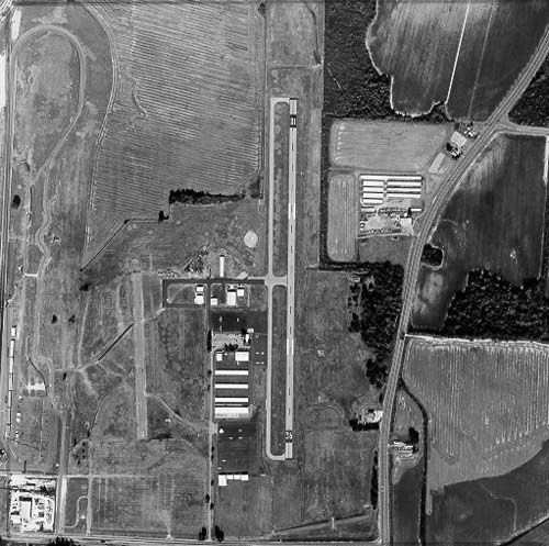
By Civil Air Patrol - Arkansas Department of Aeronautics, Public Domain, https://commons.wikimedia.org/w/index.php?curid=39887549 |
Airport Clarendon Municipal Airport (_03109) |
|
| 4502 |
7691 |
bali |
2018-05-26 21:53:41 |
 |
By World WindTransferred from en.wikipedia to Commons by Sreejithk2000 using CommonsHelper., Public Domain, https://commons.wikimedia.org/w/index.php?curid=10524831 |
Airport Chuguyevka (air base) (_03055) |
|
| 4503 |
7690 |
bali |
2018-05-26 21:53:31 |
 |
By USMC - U.S. Marine Corps photo A701478 in U.S. Marines in Vietnam - The Landing and the Buildup 1965 part 5, p. 156., Public Domain, https://commons.wikimedia.org/w/index.php?curid=14701750 |
Airport Chu Lai Air Base (_03051) |
|
| 4504 |
7689 |
bali |
2018-05-26 21:53:21 |
 |
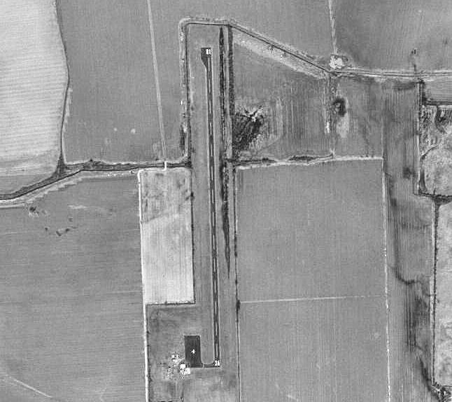
By United States Geological Survey (USGS) - USGS via TopoQuesthttp://www.topoquest.com/map.php?lat=33.66500&lon=-115.71000&datum=nad83&zoom=4&map=sat1m&coord=d&mode=zoomin&size=l, Public Domain, https://commons.wikimedia.org/w/index.php?curid=198700 |
Airport Chiriaco Summit Airport (_03012) |
|
| 4505 |
7688 |
bali |
2018-05-26 21:53:08 |
 |
By United States Geological Survey (USGS) - USGS via TopoQuesthttp://topoquest.com/map.php?lat=34.18853&lon=-82.20618&datum=nad83&zoom=1&map=sat1m&coord=d&mode=pan&size=l, Public Domain, https://commons.wikimedia.org/w/index.php?curid=20330217 |
Airport Chinquapin Airport (_03004) |
|
| 4506 |
7687 |
bali |
2018-05-26 21:52:55 |
 |
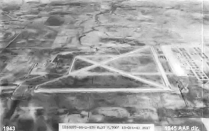
By United States Army Air Forces - United States Army Air Forces photograph, Public Domain, https://commons.wikimedia.org/w/index.php?curid=25713430 |
Airport Childress Army Airfield (_02986) |
|
| 4507 |
7686 |
bali |
2018-05-26 21:52:46 |
 |
By According to this, "The photos were produced by the United States Department of Agriculture, Agricultural Adjustment Administration (now known as the Farm Service Agency)." Cropped by uploader. - Penn Pilot, "a project sponsored by the Pennsylvan |
Airport Cherry Springs Airport (_02961) |
|
| 4508 |
7685 |
bali |
2018-05-26 21:52:33 |
 |
By Ukrop4ik - Own work, CC BY-SA 4.0, https://commons.wikimedia.org/w/index.php?curid=45993218 |
Airport Chernihiv (air base) (_02955) |
|
| 4509 |
7684 |
bali |
2018-05-26 21:52:25 |
 |
Public Domain, https://commons.wikimedia.org/w/index.php?curid=50266904 |
Airport Chekurovka (air base) (_02943) |
|
| 4510 |
7683 |
bali |
2018-05-26 21:52:17 |
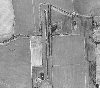 |
By United States Geological Survey (USGS) - USGS The National Map, via MSR Maps (formerly TerraServer-USA)http://msrmaps.com/map.aspx?t=1&s=11&lon=-90.079770&lat=33.993145&w=800&h=800, Public Domain, https://commons.wikimedia.org/w/index.php?curid=9 |
Airport Charleston Municipal Airport (_02914) |
|
| 4511 |
7682 |
bali |
2018-05-26 21:52:04 |
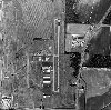 |
By USGS - TDOT, Public Domain, https://en.wikipedia.org/w/index.php?curid=23770963 |
Airport Charles W. Baker Airport (_02913) |
|
| 4512 |
7681 |
bali |
2018-05-26 21:51:56 |
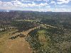 |
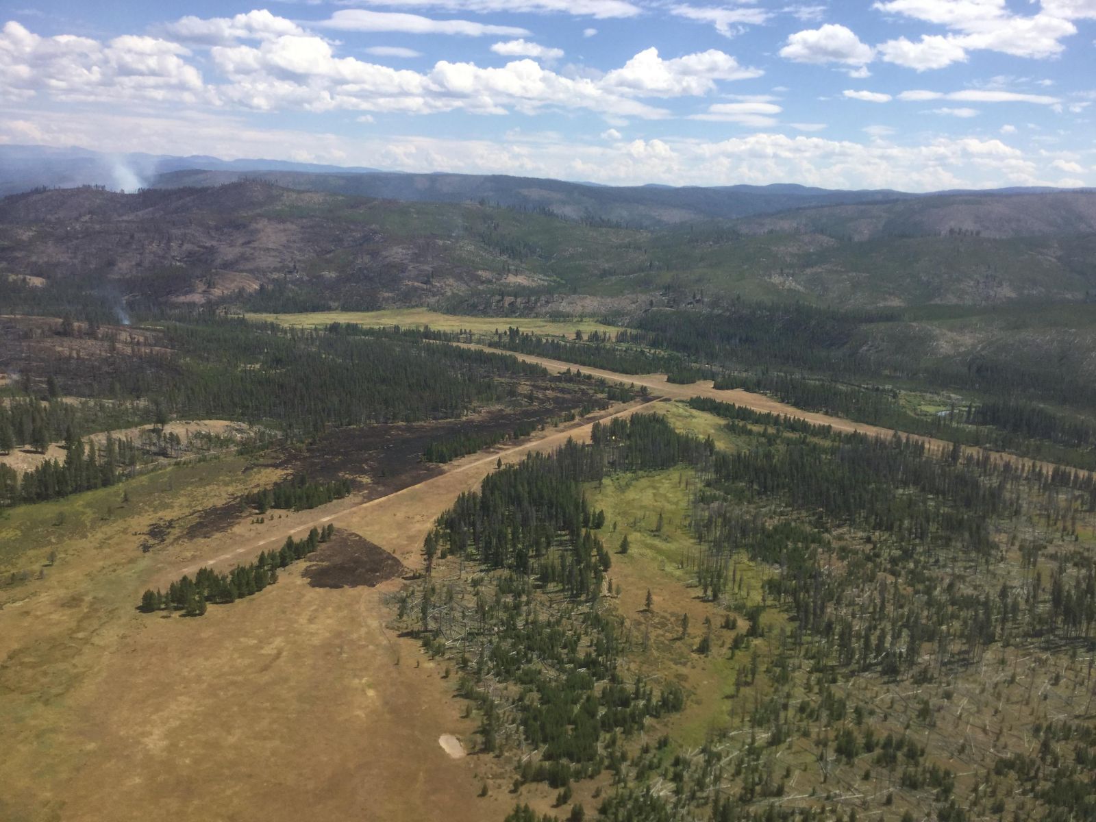
By U.S. Forest Service - https://inciweb.nwcg.gov/incident/photographs/5500/60/, Public Domain, https://commons.wikimedia.org/w/index.php?curid=62217391 |
Airport Chamberlain USFS Airport (_02876) |
|
| 4513 |
7680 |
bali |
2018-05-26 21:51:45 |
 |
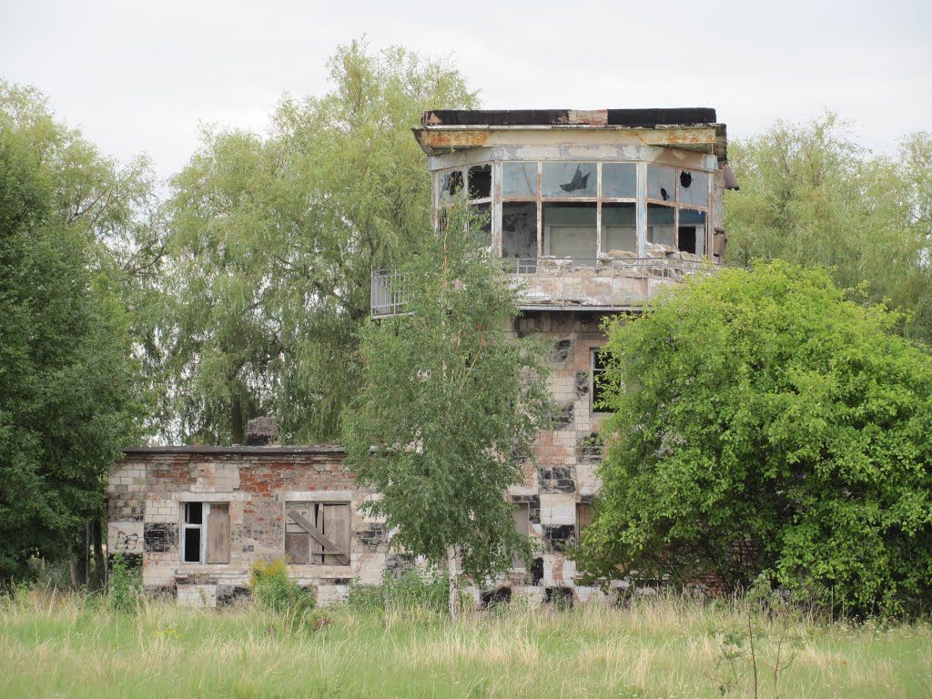
By RCAF Photo Unit - Rockcliffe Yacht Club archives, Public Domain, https://commons.wikimedia.org/w/index.php?curid=11091536 |
Airport CFB Rockcliffe (_02861) |
|
| 4514 |
7679 |
bali |
2018-05-26 21:51:36 |
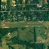 |
By United States Department of Agriculture (USDA), Farm Services Agency - National Agriculture Imagery Program (NAIP) Orthoimagery for Zone 16 Alabama State Quarter Quadrangle CEDAR BLUFF, SW and I.D. # n_3408552_sw_16_1_20060615.tif, Public Domain, |
Airport Centre Municipal Airport (_02827) |
|
| 4515 |
7678 |
bali |
2018-05-26 21:51:23 |
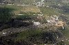 |
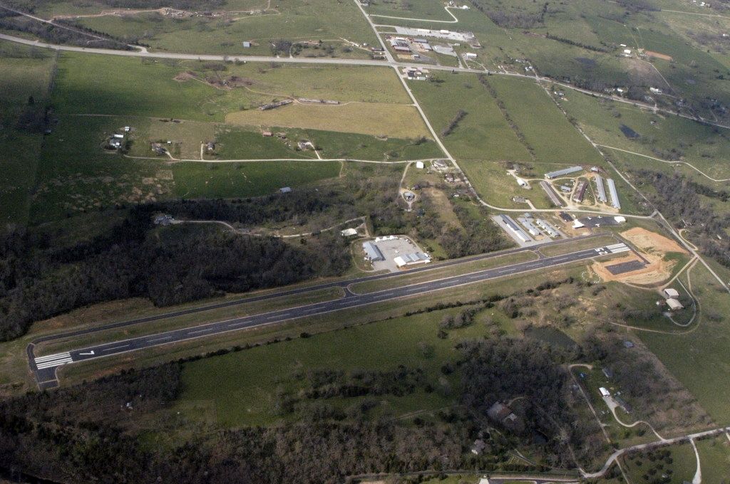
By Civil Air Patrol - Arkansas Department of Aeronautics, Public Domain, https://commons.wikimedia.org/w/index.php?curid=31083046 |
Airport Carroll County Airport (Arkansas) (_02618) |
|
| 4516 |
7677 |
bali |
2018-05-26 21:51:14 |
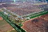 |
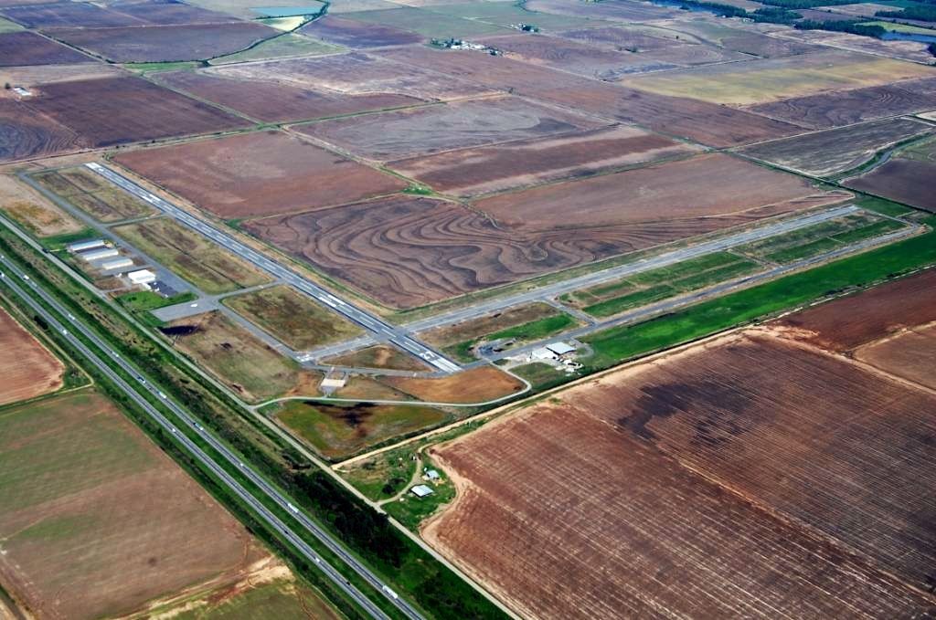
By Civil Air Patrol - Arkansas Department of Aeronautics, Public Domain, https://commons.wikimedia.org/w/index.php?curid=31083573 |
Airport Carlisle Municipal Airport (_02597) |
|
| 4517 |
7676 |
bali |
2018-05-26 21:51:05 |
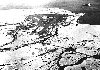 |
By United States Army Air Forces - United States Army Air Forces via Chloe, John Hale, (1984), Top Cover for America. the Air Force in Alaska. 1920-1983, Pictorial Histories Publishing Company, ISBN 0-933126-47-6, Public Domain, https://commons.wiki |
Airport Cape Field at Fort Glenn (_02555) |
|
| 4518 |
7675 |
bali |
2018-05-26 21:50:50 |
 |
By U.S. Army - http://www.history.army.mil/books/vietnam/Engineers/ch8.htm#p111, Public Domain, https://commons.wikimedia.org/w/index.php?curid=9025466 |
Airport Camp Radcliff (_02224) |
|
| 4519 |
7674 |
bali |
2018-05-26 21:50:40 |
 |
By Julian-G. Albert - DSC01304Galaxy, CC BY 2.0, https://commons.wikimedia.org/w/index.php?curid=22810768 |
Airport Camp Marmal (_02223) |
|
| 4520 |
7673 |
bali |
2018-05-26 21:50:32 |
 |
By JHill from Philadelphia, USA - Camp Garcia, CC BY-SA 2.0, https://commons.wikimedia.org/w/index.php?curid=64610155 |
Airport Camp Garcia Vieques (_02222) |
|
| 4521 |
7672 |
bali |
2018-05-26 21:50:23 |
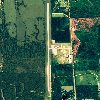 |
By United States Department of Agriculture (USDA), Farm Services Agency - National Agriculture Imagery Program (NAIP) Orthoimagery for Zone 16 Alabama State Quarter Quadrangle CAMDEN SOUTH, NW and I.D. # n_3108706_nw_16_1_20060916.tif, Public Domain |
Airport Camden Municipal Airport (_02211) |
|
| 4522 |
7671 |
bali |
2018-05-26 21:50:09 |
 |
By John Wiley User:Jw4nvc - Santa Barbara, California - Own work, CC BY 3.0, https://commons.wikimedia.org/w/index.php?curid=6004694 |
Airport California Valley Airport (_02187) |
|
| 4523 |
7670 |
bali |
2018-05-26 21:49:59 |
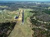 |
By Civil Air Patrol - Arkansas Department of Aeronautics, Public Domain, https://commons.wikimedia.org/w/index.php?curid=31083362 |
Airport Calico Rock-Izard County Airport (_02186) |
|
| 4524 |
7669 |
bali |
2018-05-26 21:49:50 |
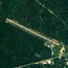 |
By United States Department of Agriculture (USDA), Farm Services Agency - National Agriculture Imagery Program (NAIP) Orthoimagery for Zone 16 Alabama State Quarter Quadrangle JACHIN, SE and I.D. # n_3208855_se_16_1_20060623.tif, Public Domain, http |
Airport Butler-Choctaw County Airport (_01971) |
|
| 4525 |
7668 |
bali |
2018-05-26 21:49:37 |
 |
By US Geological Survey - http://www.topoquest.com/map.php?lat=26.64333&lon=-81.71028&datum=nad83&zoom=4&map=sat1m&coord=d&mode=zoomin&size=l, Public Domain, https://commons.wikimedia.org/w/index.php?curid=20529044 |
Airport Buckingham Field (_01897) |
|
|
|
|
|
|
|
|
|
| # |
ID
|
Uploaded by
|
Uploaded on
|
Picture
|
Description
|
Related item(s)
|
|