Pictures
| # |
ID


|
Uploaded by
|
Uploaded on

|
Picture
|
Description
|
Related item(s)
|


|
| 4551 |
7642 |
 bali |
2018-05-26 21:45:05 |
 |
By United States Geological Survey (USGS) - USGS The National Map, via MSR Maps (formerly TerraServer-USA)http://msrmaps.com/map.aspx?t=1&s=11&lat=38.2316&lon=-112.6764&w=900&h=900, Public Domain, https://commons.wikimedia.org/w/index.php?curid=7751 |
Airport Beaver Municipal Airport (Utah) (_01356) |
|
| 4552 |
7641 |
bali |
2018-05-26 21:44:51 |
 |
By Ser Amantio di Nicolao - Own work, CC BY-SA 4.0, https://commons.wikimedia.org/w/index.php?curid=56838496 |
Airport Beacon Field Airport (_01341) |
|
| 4553 |
7640 |
bali |
2018-05-26 21:44:42 |
 |
By keizers - Own work, CC0, https://commons.wikimedia.org/w/index.php?curid=48193380 |
Airport BBVA Bancomer Tower Helipad (_01338) |
|
| 4554 |
7639 |
bali |
2018-05-26 21:44:34 |
 |
By Department of Defense. Department of the Navy. First Naval District. Office of Public Works. (09/1947 - ca. 1965) (Most Recent) - National Archives image, description page, Public Domain, https://commons.wikimedia.org/w/index.php?curid=33486820 |
Airport Bayside Airport (_01334) |
|
| 4555 |
7638 |
bali |
2018-05-26 21:44:21 |
 |
By United States Department of Agriculture (USDA), Farm Services Agency - National Agriculture Imagery Program (NAIP) Orthoimagery for Zone 16 Alabama State Quarter Quadrangle BAY MINETTE SOUTH, NW and I.D. # n_3008710_nw_16_1_20060630.tif, Public D |
Airport Bay Minette Municipal Airport (_01328) |
|
| 4556 |
7637 |
bali |
2018-05-26 21:44:07 |
 |
By NASA World Wind - NASA World Wind - screenshot from version 1.4.0, Public Domain, https://commons.wikimedia.org/w/index.php?curid=14610069 |
Airport Bay d'Espoir Aerodrome (_01326) |
|
| 4557 |
7636 |
bali |
2018-05-26 21:43:58 |
 |
By Aharrin1 - Own work, CC BY-SA 3.0, https://commons.wikimedia.org/w/index.php?curid=31528881 |
Airport Bay Bridge Airport (_01325) |
|
| 4558 |
7635 |
bali |
2018-05-26 21:43:50 |
 |
By flickr.paulohenrique.net - Flickr, CC BY 2.0, https://commons.wikimedia.org/w/index.php?curid=6874130 |
Airport Barreira do Inferno Launch Center (_01266) |
|
| 4559 |
7634 |
bali |
2018-05-26 21:43:41 |
 |
By Sumeetm90 Sumeet More - Own work, CC BY-SA 3.0, https://commons.wikimedia.org/w/index.php?curid=12814317 |
Airport Baramati Airport (_01239) |
|
| 4560 |
7633 |
bali |
2018-05-26 21:43:32 |
 |
By Aharrin1 at English Wikipedia, CC BY-SA 3.0, https://commons.wikimedia.org/w/index.php?curid=40763900 |
Airport Baltimore Airpark (_01177) |
|
| 4561 |
7632 |
bali |
2018-05-26 21:43:24 |
 |
By Scero - Own work, CC BY-SA 3.0, https://commons.wikimedia.org/w/index.php?curid=6730950 |
Airport Bălți City Airport (_01175) |
|
| 4562 |
7631 |
bali |
2018-05-26 21:43:15 |
 |
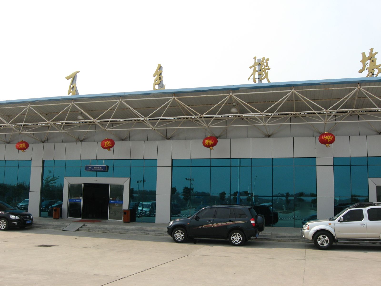
By greensea - |
Airport Baise Youjiang Airport (_01138) |
|
| 4563 |
7630 |
bali |
2018-05-26 21:43:07 |
 |
By United States Geological Survey (USGS) - USGS The National Map, via MSR Maps (formerly TerraServer-USA)http://msrmaps.com/map.aspx?t=1&s=10&lat=30.4136&lon=-97.665&w=800&h=1800, Public Domain, https://commons.wikimedia.org/w/index.php?curid=15732 |
Airport Austin Executive Airpark (_00797) |
|
| 4564 |
7629 |
bali |
2018-05-26 21:42:53 |
 |
By United States Geological Survey (USGS) - USGS The National Map, via MSR Maps (formerly TerraServer-USA)http://msrmaps.com/image.aspx?T=4&S=12&Z=10&X=698&Y=6551&W=1&qs=%7cAuburn%7cWashington%7c, Public Domain, https://commons.wikimedia.org/w/index |
Airport Auburn Municipal Airport (Washington) (_00781) |
|
| 4565 |
7628 |
bali |
2018-05-26 21:42:40 |
 |
By United States Department of Agriculture (USDA), Farm Services Agency - National Agriculture Imagery Program (NAIP) Orthoimagery for Zone 16 Alabama State Quarter Quadrangle ATMORE, SE and I.D. # n_3108761_se_16_1_20060630.tif, Public Domain, http |
Airport Atmore Municipal Airport (_00772) |
|
| 4566 |
7627 |
bali |
2018-05-26 21:42:27 |
 |
By United States Department of Agriculture (USDA), Farm Services Agency - National Agriculture Imagery Program (NAIP) Orthoimagery for Zone 16 Alabama State Quarter Quadrangle LINEVILLE WEST, SW and I.D. # n_3308542_sw_16_1_20060615.tif, Public Doma |
Airport Ashland/Lineville Airport (_00742) |
|
| 4567 |
7626 |
bali |
2018-05-26 21:42:14 |
 |
By United States Geological Survey (USGS) - USGS via TopoQuesthttp://www.topoquest.com/map.php?lat=35.90296&lon=-89.40204&datum=nad83&zoom=4&map=sat1m&coord=d&mode=pan&size=l, Public Domain, https://commons.wikimedia.org/w/index.php?curid=17293646 |
Airport Arnold Field (Tennessee) (_00692) |
|
| 4568 |
7625 |
bali |
2018-05-26 21:42:01 |
 |
By US Geological Survey - US Geological Survey, Public Domain, https://commons.wikimedia.org/w/index.php?curid=9630054 |
Airport Arledge Field (_00684) |
|
| 4569 |
7624 |
bali |
2018-05-26 21:41:52 |
 |
By United States Department of Agriculture (USDA), Farm Services Agency - National Agriculture Imagery Program (NAIP) Orthoimagery for Zone 16 Alabama State Quarter Quadrangle ELKMONT, NE and I.D. # n_3408601_ne_16_1_20060824.tif, Public Domain, htt |
Airport Ardmore Airport (Alabama) (_00655) |
|
| 4570 |
7623 |
bali |
2018-05-26 21:41:38 |
 |
By United States Geological Survey - US Geological Survey http://alabamamaps.ua.edu/aerials/Counties/Talladega/Talladega_Anniston_Airbase_1949.html, Public Domain, https://commons.wikimedia.org/w/index.php?curid=4087464 |
Airport Anniston Air Force Base (_00598) |
|
| 4571 |
7622 |
bali |
2018-05-26 21:41:26 |
 |
By Federal Aviation Administration, Alaska Region - Image: http://www.alaska.faa.gov/fai/images/ARPT_DIAGRAMS/ANN.gifWeb site: Alaska Airport Photos and Diagrams. Archived from the original on 2007-11-14., Public Domain, https://commons.wikimedia.or |
Airport Annette Island Army Airfield (_00597) |
|
| 4572 |
7621 |
bali |
2018-05-26 21:41:14 |
 |
By U.S. Navy photo by Mass Communication Specialist 2nd Class Felicito Rustique - This Image was released by the United States Navy with the ID 110831-N-IZ292-050 (next).This tag does not indicate the copyright status of the attached work. A normal |
Airport Andøya Air Station (_00562) |
|
| 4573 |
7620 |
bali |
2018-05-26 21:41:02 |
 |
By Doodybutch - Own work, CC BY-SA 4.0, https://commons.wikimedia.org/w/index.php?curid=56457085 |
Airport Alton Bay Seaplane Base (_00479) |
|
| 4574 |
7619 |
bali |
2018-05-26 21:40:53 |
 |
By Civil Air Patrol - Arkansas Department of Aeronautics, Public Domain, https://commons.wikimedia.org/w/index.php?curid=25049664 |
Airport Almyra Municipal Airport (_00457) |
|
| 4575 |
7618 |
bali |
2018-05-26 21:40:44 |
 |
By Unknown - https://www.flickr.com/photos/8270787@N07/7229095506/, Public Domain, https://commons.wikimedia.org/w/index.php?curid=39290431 |
Airport Almaza Air Base (_00455) |
|
|
|
|
|
|
|
|
|
| # |
ID
|
Uploaded by
|
Uploaded on
|
Picture
|
Description
|
Related item(s)
|
|