| # | ICAO code


|
Name

|
# of related pictures |
IATA code
|
Country
|
Geolocation
|
Municipality
|
Type
|
Elevation (ft)
|
Longest runway length (m)
|
Passengers [in 2018]*
|
Info (external)
|
Website (external)
|
# of related air shows in DB |
# of related air museums in DB |
# of aeroclubs in DB |
# of related collections |
# of related user comments |


|
|---|---|---|---|---|---|---|---|---|---|---|---|---|---|---|---|---|---|---|---|
| 36126 | KCHD | Chandler Municipal Airport |  United States |
 N331609 W1114840 |
Chandler | Airport | 1 243 |  |
1 |


|
|||||||||
| 36127 | KCHK | Chickasha Municipal Airport | 1 |
CHK |
United States |
N350550 W0975804 |
Chickasha | Airport | 1 152 | |
|
1 |
|
||||||
| 36128 | KCHN | Wauchula Municipal Airport |
United States |
N273054 W0815250 |
Wauchula | Airport | 106 | 1 221 | |
|
|||||||||
| 36129 | KCHO | Charlottesville-Albemarle Airport | CHO |
United States |
N380819 W0782710 |
Charlottesville | Airport | 640 | 395 552 | |
|
1 |
|
||||||
| 36130 | KCHQ | Mississippi County Airport |
United States |
N365032 W0892135 |
Charleston | Airport | 313 | |
|
||||||||||
| 36131 | KCHS | Charleston International Airport | 1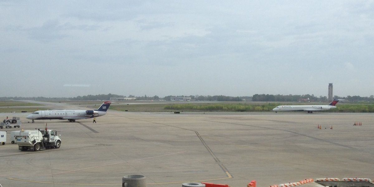 |
CHS |
United States |
N325355 W0800226 |
Charleston | Airport | 46 | 2 135 | 3 990 848 | |
|
1 |
|
||||
| 36132 | KCHU | Houston County Airport (Minnesota) |
United States |
N433547 W0913014 |
Caledonia | Airport | 1 179 | 1 066 | |
1 |
|
||||||||
| 36133 | KCIC | Chico Municipal Airport | 1 |
CIC |
United States |
N394743 W1215129 |
Chico | Airport | 240 | 2 049 | 33 670 | |
1 |
|
|||||
| 36134 | KCID | The Eastern Iowa Airport | CID |
United States |
N415305 W0914239 |
Cedar Rapids | Airport | 869 | 2 622 | 1 095 572 | |
|
1 |
|
|||||
| 36135 | KCII | Choteau Airport |
United States |
N474942 W1121005 |
Choteau | Airport | 3 947 | 1 128 | |
|
|||||||||
| 36136 | KCIN | Arthur N. Neu Airport | CIN |
United States |
N420246 W0944720 |
Carroll | Airport | 1 204 | 1 676 | |
|
|
|||||||
| 36137 | KCIU | Chippewa County International Airport | 1 |
CIU |
United States |
N461503 W0842821 |
Sault Ste Marie | Airport | 799 | 2 195 | 41 948 | |
|
|
|||||
| 36138 | KCJR | Culpeper Regional Airport | 1 |
United States |
N383132 W0775135 |
Culpeper | Airport | 316 | 1 524 | |
1 |
|
|||||||
| 36139 | KCKA | Kegelman Air Force Auxiliary Field | CKA |
United States |
N364417 W0980734 |
Cherokee | Airport | 1 202 | 2 073 | |
|
||||||||
| 36140 | KCKB | North Central West Virginia Airport | 1 |
CKB |
United States |
N391748 W0801341 |
Clarksburg | Airport | 1 224 | 20 306 | |
|
|
||||||
| 36141 | KCKC | Grand Marais/Cook County Airport | 1 |
GRM |
United States |
N475018 W0902259 |
Grand Marais | Airport | 1 799 | 1 280 | |
|
|
||||||
| 36142 | KCKF | Crisp County-Cordele Airport | 1 |
United States |
N315920 W0834626 |
Cordele | Airport | 310 | |
|
|||||||||
| 36143 | KCKI | Williamsburg Regional Airport |
United States |
N334302 W0795125 |
Kingstree | Airport | 67 | |
|
|
|||||||||
| 36144 | KCKM | Fletcher Field | 1 |
CKM |
United States |
N341759 W0903044 |
Clarksdale | Airport | 173 | |
|
||||||||
| 36145 | KCKN | Crookston Municipal Airport | 1 |
CKN |
United States |
N475027 W0963718 |
Crookston | Airport | 899 | 1 311 | |
|
|||||||
| 36146 | KCKV | Clarksville-Montgomery County Regional Airport | 1 |
CKV |
United States |
N363719 W0872454 |
Clarksville | Airport | 550 | 1 829 | |
|
|
||||||
| 36147 | KCKZ | Pennridge Airport |
United States |
N402321 W0751726 |
Perkasie | Airport | 568 | 1 285 | |
|
|||||||||
| 36148 | KCLE | Cleveland Hopkins International Airport | 1 |
CLE |
United States |
N412442 W0815059 |
Cleveland | Airport | 791 | 3 034 | 9 140 318 | |
|
|
|||||
| 36149 | KCLI | Clintonville Municipal Airport | 1 |
CLI |
United States |
N443648 W0884351 |
Clintonville | Airport | 822 | |
|
||||||||
| 36150 | KCLK | Clinton Regional Airport | CLK |
United States |
N353218 W0985558 |
Clinton | Airport | 1 616 | 1 312 | |
|
||||||||
| 13 | 14 718 214 | 2 | 0 | 6 | 0 | 0 | |||||||||||||
| # | ICAO code
|
Name
|
# of related pictures |
IATA code
|
Country
|
Geolocation
|
Municipality
|
Type
|
Elevation (ft)
|
Longest runway length (m)
|
Passengers [in 2018]*
|
Info (external)
|
Website (external)
|
# of related air shows in DB |
# of related air museums in DB |
# of aeroclubs in DB |
# of related collections |
# of related user comments |
|