| # | ICAO code


|
Name

|
# of related pictures |
IATA code
|
Country
|
Geolocation
|
Municipality
|
Type
|
Elevation (ft)
|
Longest runway length (m)
|
Passengers [in 2018]*
|
Info (external)
|
Website (external)
|
# of related air shows in DB |
# of related air museums in DB |
# of aeroclubs in DB |
# of related collections |
# of related user comments |


|
|---|---|---|---|---|---|---|---|---|---|---|---|---|---|---|---|---|---|---|---|
| 36776 | KIRK | Kirksville Regional Airport | IRK |  United States |
 N400536 W0923242 |
Kirksville | Airport | 966 |  |
|


|
||||||||
| 36777 | KISM | Kissimmee Gateway Airport | 1 |
ISM |
United States |
N271723 W0812614 |
Orlando | Airport | 82 | 1 524 | |
|
1 | 1 |
|
||||
| 36778 | KISN | Sloulin Field International Airport | ISN |
United States |
N481041 W1033831 |
Williston | Airport | 1 982 | 192 156 | |
|
2 |
|
||||||
| 36779 | KISO | Kinston Regional Jetport | 1 |
ISO |
United States |
N351953 W0773632 |
Kinston | Airport | 94 | 3 505 | |
|
|
||||||
| 36780 | KISP | Long Island MacArthur Airport | 1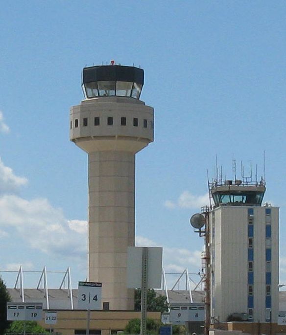 |
ISP |
United States |
N404743 W0730601 |
Islip | Airport | 99 | 2 135 | 1 325 224 | |
|
5 |
|
||||
| 36781 | KISW | South Wood County Airport | ISW |
United States |
N442137 W0895020 |
Wisconsin Rapids | Airport | 1 021 | 1 676 | |
|
|
|||||||
| 36782 | KISZ | Cincinnati-Blue Ash Airport | 1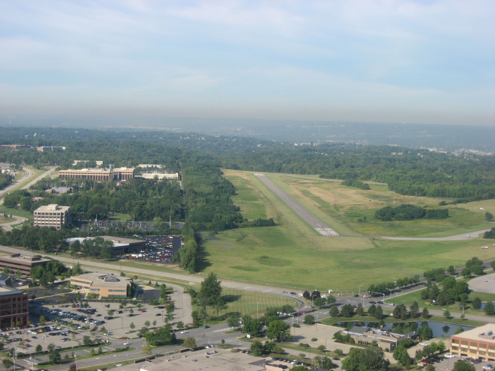 |
United States |
N391448 W0842320 |
Cincinnati | Closed | 856 | 1 066 | |
|
||||||||
| 36783 | KITH | Ithaca Tompkins Regional Airport | 1 |
ITH |
United States |
N422929 W0762731 |
Ithaca | Airport | 1 099 | 207 444 | |
|
1 |
|
|||||
| 36784 | KITR | Kit Carson County Airport |
United States |
N391433 W1021706 |
Burlington | Airport | 4 219 | 1 585 | |
|
|||||||||
| 36785 | KIWA | Phoenix-Mesa Gateway Airport | 1 |
AZA |
United States |
N331828 W1113922 |
Phoenix | Airport | 1 384 | 3 109 | 1 361 366 | |
|
|
|||||
| 36786 | KIWD | Gogebic-Iron County Airport | IWD |
United States |
N463139 W0900753 |
Ironwood | Airport | 1 230 | |
|
|
||||||||
| 36787 | KIWH | Wabash Municipal Airport |
United States |
N404543 W0854756 |
Wabash | Airport | 796 | |
|
|
|||||||||
| 36788 | KIWI | Wiscasset Airport | ISS |
United States |
N435741 W0694245 |
Wiscasset | Airport | 70 | 1 035 | |
|
||||||||
| 36789 | KIWS | West Houston Airport | 1 |
IWS |
United States |
N294906 W0954021 |
Houston | Airport | 111 | |
|
|
|||||||
| 36790 | KIXA | Halifax-Northampton Regional Airport |
United States |
N361947 W0773807 |
Roanoke Rapids | Airport | 145 | |
|
||||||||||
| 36791 | KIXD | New Century AirCenter | 1 |
JCI |
United States |
N384951 W0945325 |
Olathe | Airport | 1 087 | 1 564 | |
2 |
|
||||||
| 36792 | KIYA | Abbeville Chris Crusta Memorial Airport |
United States |
N295833 W0920503 |
Airport | 16 | 1 524 | |
2 |
|
|||||||||
| 36793 | KIYK | Inyokern Airport | IYK |
United States |
N353931 W1174944 |
Inyokern | Airport | 2 457 | 2 164 | |
|
1 |
|
||||||
| 36794 | KIZA | Santa Ynez Airport | SQA |
United States |
N343625 W1200434 |
Santa Ynez | Airport | 671 | 855 | |
|
||||||||
| 36795 | KIZG | Eastern Slopes Regional Airport | FRY |
United States |
N435928 W0705652 |
Fryeburg | Airport | 454 | 1 280 | |
|
||||||||
| 36796 | KJAC | Jackson Hole Airport | 1 |
JAC |
United States |
N433626 W1104417 |
Jackson | Airport | 6 451 | 1 920 | 548 686 | |
|
|
|||||
| 36797 | KJAN | Jackson-Evers International Airport | 1 |
JAN |
United States |
N321840 W0900433 |
Jackson | Airport | 346 | 2 591 | 913 549 | |
|
|
|||||
| 36798 | KJAQ | Amador County Airport |
United States |
N382236 W1204738 |
Airport | 1 690 | 1 037 | |
|
||||||||||
| 36799 | KJAU | Campbell County Airport (Tennessee) |
United States |
N362003 W0840947 |
Jacksboro | Airport | 1 180 | 1 219 | |
|
|||||||||
| 36800 | KJAX | Jacksonville International Airport | 1 |
JAX |
United States |
N302939 W0814116 |
Jacksonville | Large airport | 30 | 3 048 | 5 591 886 | |
|
|
|||||
| 11 | 10 140 311 | 0 | 1 | 14 | 0 | 0 | |||||||||||||
| # | ICAO code
|
Name
|
# of related pictures |
IATA code
|
Country
|
Geolocation
|
Municipality
|
Type
|
Elevation (ft)
|
Longest runway length (m)
|
Passengers [in 2018]*
|
Info (external)
|
Website (external)
|
# of related air shows in DB |
# of related air museums in DB |
# of aeroclubs in DB |
# of related collections |
# of related user comments |
|