| # | ICAO code


|
Name

|
# of related pictures |
IATA code
|
Country
|
Geolocation
|
Municipality
|
Type
|
Elevation (ft)
|
Longest runway length (m)
|
Passengers [in 2018]*
|
Info (external)
|
Website (external)
|
# of related air shows in DB |
# of related air museums in DB |
# of aeroclubs in DB |
# of related collections |
# of related user comments |


|
|---|---|---|---|---|---|---|---|---|---|---|---|---|---|---|---|---|---|---|---|
| 37626 | KSXU | Santa Rosa Route 66 Airport |  United States |
 N345608 W1043835 |
Airport | 4 792 | 1 528 |  |


|
||||||||||
| 37627 | KSYF | Cheyenne County Municipal Airport |
United States |
N394540 W1014746 |
St Francis | Airport | 3 411 | 548 | |
|
|||||||||
| 37628 | KSYI | Shelbyville Municipal Airport (Tennessee) | SYI |
United States |
N353334 W0862633 |
Shelbyville | Airport | 801 | 1 677 | |
|
||||||||
| 37629 | KSYL | Roberts Army Heliport | SYL |
United States |
N354854 W1204438 |
Heliport | 630 | |
|
||||||||||
| 37630 | KSYM | Morehead-Rowan County Clyde A. Thomas Regional Airport |
United States |
N381254 W0833515 |
Airport | 1 028 | 1 676 | |
|
||||||||||
| 37631 | KSYN | Stanton Airfield | 1 |
SYN |
United States |
N442832 W0930059 |
920 | 600 | |
|
2 |
|
|||||||
| 37632 | KSYR | Syracuse Hancock International Airport | 1 |
SYR |
United States |
N430640 W0760623 |
Syracuse | Airport | 421 | 1 983 326 | |
|
2 |
|
|||||
| 37633 | KSZL | Whiteman AFB | 1 |
SZL |
United States |
N384349 W0933255 |
Knob Noster | Large airport | 871 | 3 780 | |
|
|
||||||
| 37634 | KSZN | Santa Cruz Island Airport | SZN |
United States |
N340338 W1195454 |
Airport | 50 | |
|
||||||||||
| 37635 | KSZP | Santa Paula Airport | SZP |
United States |
N342049 W1190343 |
Airport | 243 | |
|
1 |
|
||||||||
| 37636 | KSZT | Sandpoint Airport |
United States |
N481758 W1163336 |
Sandpoint | Airport | 2 131 | 1 677 | |
2 |
|
||||||||
| 37637 | KTAD | Perry Stokes Airport | TAD |
United States |
N371534 W1042028 |
Trinidad | Airport | 5 760 | 1 676 | |
|
||||||||
| 37638 | KTAN | Taunton Municipal Airport |
United States |
N415227 W0710059 |
Taunton | Airport | 43 | 1 067 | |
1 |
|
||||||||
| 37639 | KTBN | Waynesville-St. Robert Regional Airport | 1 |
TBN |
United States |
N374430 W0920827 |
Fort Leonard Wood | Airport | 1 159 | 1 840 | |
|
|||||||
| 37640 | KTBR | Statesboro-Bulloch County Airport | 1 |
TBR |
United States |
N322858 W0814413 |
Statesboro | Airport | 187 | 1 829 | |
|
|
||||||
| 37641 | KTCC | Tucumcari Municipal Airport | 1 |
TCC |
United States |
N351058 W1033611 |
Tucumcari | Airport | 4 065 | 2 165 | |
|
|||||||
| 37642 | KTCL | Tuscaloosa Regional Airport | 1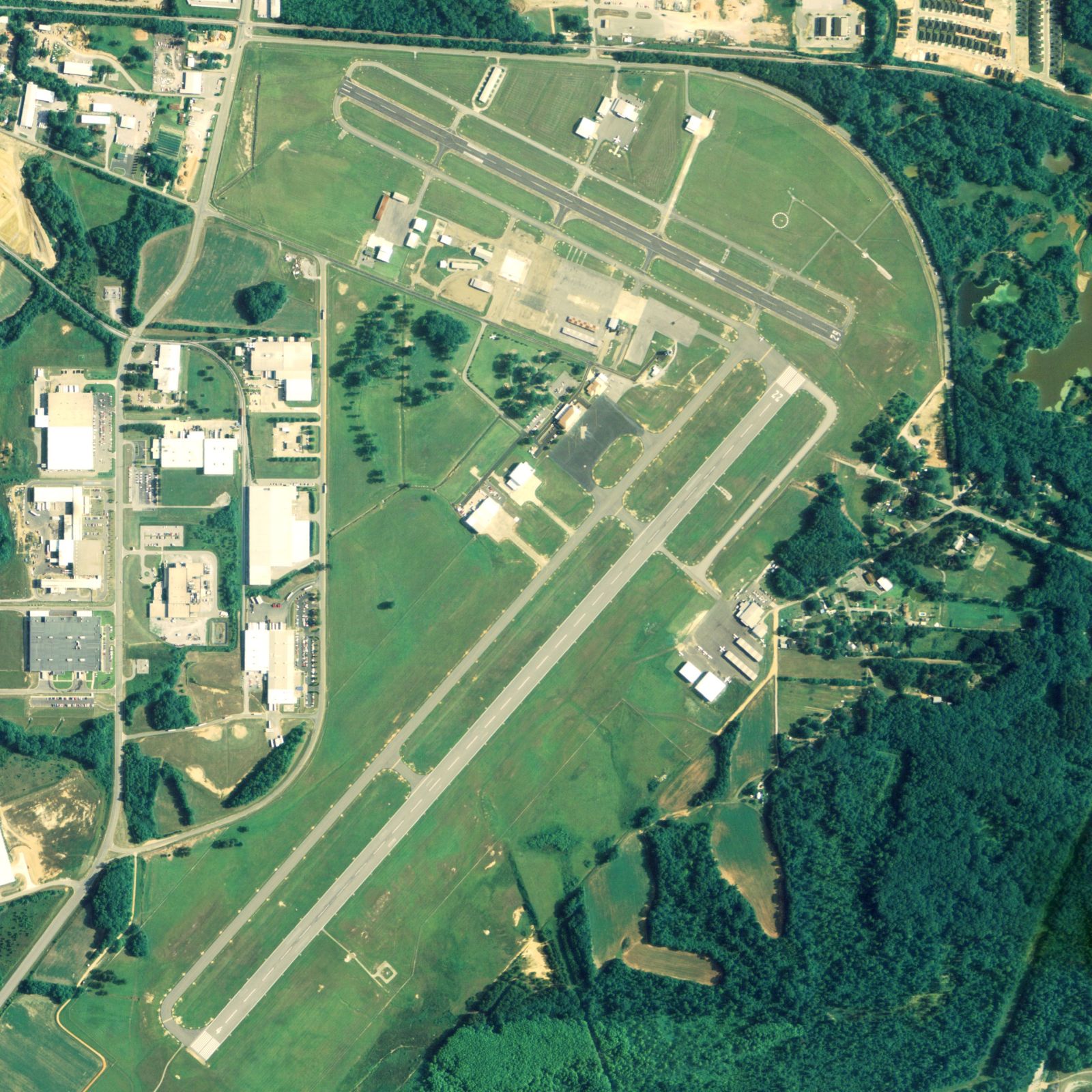 |
TCL |
United States |
N331314 W0873641 |
Tuscaloosa | Airport | 170 | 1 981 | |
1 |
|
||||||
| 37643 | KTCM | McChord Field | 1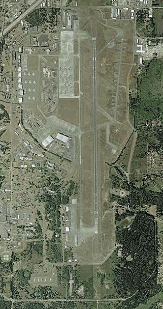 |
TCM |
United States |
N470816 W1222834 |
Tacoma | Large airport | 322 | |
|
1 |
|
||||||
| 37644 | KTCS | Truth or Consequences Municipal Airport | TCS |
United States |
N331413 W1071619 |
Truth Or Consequences | Airport | 4 853 | 2 195 | |
|
||||||||
| 37645 | KTCY | Tracy Municipal Airport (California) | 1 |
United States |
N374120 W1212631 |
Tracy | Airport | 193 | 1 221 | |
|
||||||||
| 37646 | KTDF | Person County Airport |
United States |
N361705 W0785905 |
Roxboro | Airport | 609 | 1 830 | |
|
|
||||||||
| 37647 | KTDO | South Lewis County Airport | TDO |
United States |
N462838 W1224822 |
Toledo | Airport | 374 | 1 365 | |
1 |
|
|||||||
| 37648 | KTDW | Tradewind Airport | TDW |
United States |
N351012 W1014934 |
Amarillo | Airport | 3 649 | 1 554 | |
1 |
|
|||||||
| 37649 | KTDZ | Toledo Executive Airport | TDZ |
United States |
N413353 W0832856 |
Toledo | Airport | 623 | 1 158 | |
2 |
|
|||||||
| 37650 | KTEB | Teterboro Airport | TEB |
United States |
N405100 W0740339 |
Teterboro | Airport | 9 | |
|
1 |
|
|||||||
| 9 | 1 983 326 | 0 | 2 | 13 | 0 | 0 | |||||||||||||
| # | ICAO code
|
Name
|
# of related pictures |
IATA code
|
Country
|
Geolocation
|
Municipality
|
Type
|
Elevation (ft)
|
Longest runway length (m)
|
Passengers [in 2018]*
|
Info (external)
|
Website (external)
|
# of related air shows in DB |
# of related air museums in DB |
# of aeroclubs in DB |
# of related collections |
# of related user comments |
|