 France
You are currently not logged in. You can still browse the encyclopedia, but for more functionality please login or register! Registration is FREE!
| |
|
|---|---|
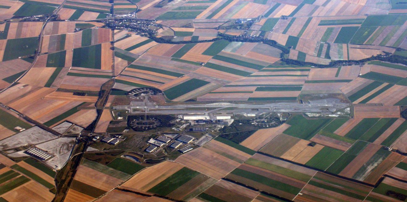
| ICAO code | LFOK |
| Name | Châlons Vatry Airport |
| # of related pictures | 1 |
| IATA code | XCR |
| Country |
France
|
| Geolocation | |
| Municipality | Châlons/Vatry |
| Type | Airport |
| Elevation (ft) | 586 |
| Longest runwaylength (m) | 3 860 |
| Passengers [in 2018]* | 96 221 |
| Info (external) | https://en.wikipedia.org/wiki/Châlons_Vatry_Airport |
| Website (external) | http://www.parisvatry.com/ |
| # of related air shows in DB | |
| # of related air museums in DB | |
| # of aeroclubs in DB | |
| # of related collections | |
| # of related user comments |
Geolocation format: e.g. N472044 E0185851 = 47 degree 20 minutes 44 seconds north, 018 degree 58 minutes 51 seconds east.